

Haindorfer Berg Trails

Description
Depending on how you reach Aschau im Chiemgau, there are various starting points for the tour. Campers, for example, will find a beautiful, fully automatic camper van site at the Naturbad Aschau, which is also an ideal starting point for various mountain bike tours in the Kampenwand area, which includes the Haindorfer Berg. But you can also set off perfectly from Aschau im Chiemgau train station in the direction of Haindorfer Berg. As with the downhill later on, there are also various options for the ascent, but they all have in common that the bike has to be pushed the last 200 meters up the steep north side of the mountain. The actually more logical tour via the alpine pastures on the south-east side has been taboo for all Chiemgau bikers for some time.
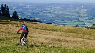
The official uphill ride leads from Aschau im Chiemgau (615 meters above sea level) via the district of Bucha past the Abendmahl Chapel to the hamlet of Vordergschwendt and on along the forest road "Schönbrandweg", from where the aforementioned pushing passage is reached. Over this, somewhat arduous, in serpentines - partly also rideable with the E-MTB - to the summit of the Haindorfer Berg (1123 meters above sea level). An alpine pasture offers a view to the south towards the Kampenwand.
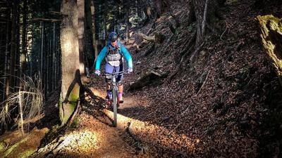
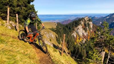
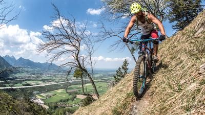
Follow the edge of the forest to the west until you cross a fence and reach the start of the trail. The first 100 meters of the Haindorfer Berg Trail run westwards over a light-flooded, often steep ridge with some tricky, but easily rideable root passages. At a vertical crossroads in steep terrain (brake in good time), take a sharp left onto the trail. Tip: If you cross to the right a good 50 meters into the slope, you will reach an ingenious viewing bench high above Aschau im Chiemgau - perfect for a rest! Continue along the crisp trail in serpentines until you reach the Schönbrandweg again. From here, the Haindorfer Berg becomes a trail playground. You can follow the Schönbrandweg in both an easterly and westerly direction - mountain bike trails branch off again and again in the direction of the Kohlstatt hiking parking lot. If you are coming from the summit of Haindorfer Berg, it is best to take the trail that continues downhill into the valley so as not to slow down the flow. From the Kohlstatt hiking parking lot, it's an easy downhill ride back to the center of Aschau im Chiemgau.
Almost all of the trails on Haindorfer Berg are not marked hiking trails. Most of the time, mountain bikers are among themselves.
Map & GPX-Track
The map is only available to Ride subscribers.
The Ride-Subscription is available at ride-mtb.com/abo
.
Details of the tour
9 km
535 m
535 m
597 above sea level
1123 above sea level
Aschau im Chiemgau
Aschau im Chiemgau
3268
well suited
More information
More tours nearby










User comments (0)
Note: This content has been automatically translated from German. Please report any incorrect translations.