

Prientaler Almrunde
Description
The route starts in Aschau im Chiemgau (672 meters above sea level) via the Priental cycle path to the Stein district, where the forest road branches off to the right up to the Angerer Alm (1200 meters above sea level). Shortly after the Alm, turn right onto the first trail of this loop down to the Ellandalm (990 meters above sea level). Initially without any great loss of altitude, the trail leads through a wooded area until you reach a wider cart track. The most challenging trail sections of this tour can be found in this section of forest, but here too they do not exceed the S2 to S3 level of difficulty.
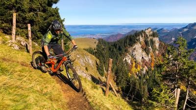
Follow the cart path for about 300 meters until a narrow path branches off to the left into the forest. Here, a sign warns you to push your bike (for how long remains unclear). This is soon followed by an absolute highlight of this tour, a great trail that winds its way in easy serpentines across alpine meadows down to the Ellandalm. The route continues parallel to the slope, initially with a slight incline, later rapidly up a wide trail towards Hohenaschau until you reach the so-called Milliweg at an altitude of almost 900 meters above sea level. Push along this trail for almost 100 meters up to the Hofalm (970 meters above sea level), pedal powerfully or have fun in the E-MTB-Turbo.
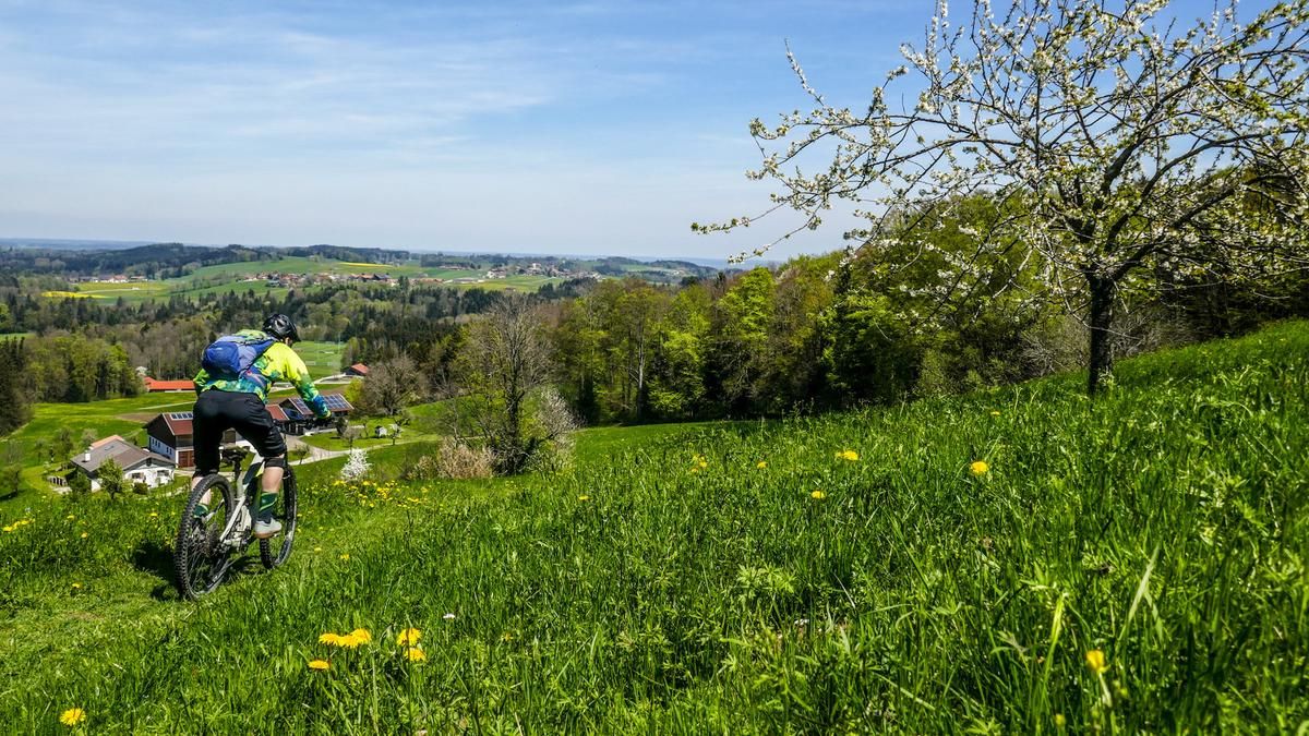
Through a gate into the wonderful garden of the Hofalm restaurant and at its northern end through another gate onto a mega flowing meadow trail, which later turns into a rooty, partly blocked forest passage. At the end of the trail, take a forest road down to the Frasdorf district of Sagberg (800 meters above sea level). Now follow the Alphaltstrasse until shortly after Haslau (730 meters above sea level) a last trail branches off relatively inconspicuously to the right at a bench down into the Priental. Follow this to the main road and take the cycle path back to Aschau im Chiemgau.
Map & GPX-Track
The map is only available to Ride subscribers.
The Ride-Subscription is available at ride-mtb.com/abo
.
Details of the tour
25 km
750 m
750 m
591 above sea level
1212 above sea level
1 day
Aschau im Chiemgau
Aschau im Chiemgau
1772
well suited
More information
More tours nearby






User comments (0)
Note: This content has been automatically translated from German. Please report any incorrect translations.