

Reifenberg-Trails
Description
The tour starts and ends in Bernau am Chiemsee (544 meters above sea level). Through the settlement area and open meadows, you will soon reach the Mariengrotte, where the narrow road up to the Seiserhof (719 meters above sea level) begins. From the Seiserhof farm, follow the road in the direction of Hintergschwendt before turning left onto a cart track shortly after the junction to Vordergschwendt. Follow this - with almost no elevation gain - until you reach a wider forest road again. Now turn right briefly uphill, then turn left, leaving the Herrenalm (848 meters above sea level) on your left and continue into a flat saddle between Reifenberg and Schwarzenberg. Here follow the signs to the left in the direction of Lindl Alm (981 meters above sea level) (steep asphalt road). On the north side of the Lindl Alm (private - not managed!), cross a pasture fence into the forest. The first trail of the tour starts here.
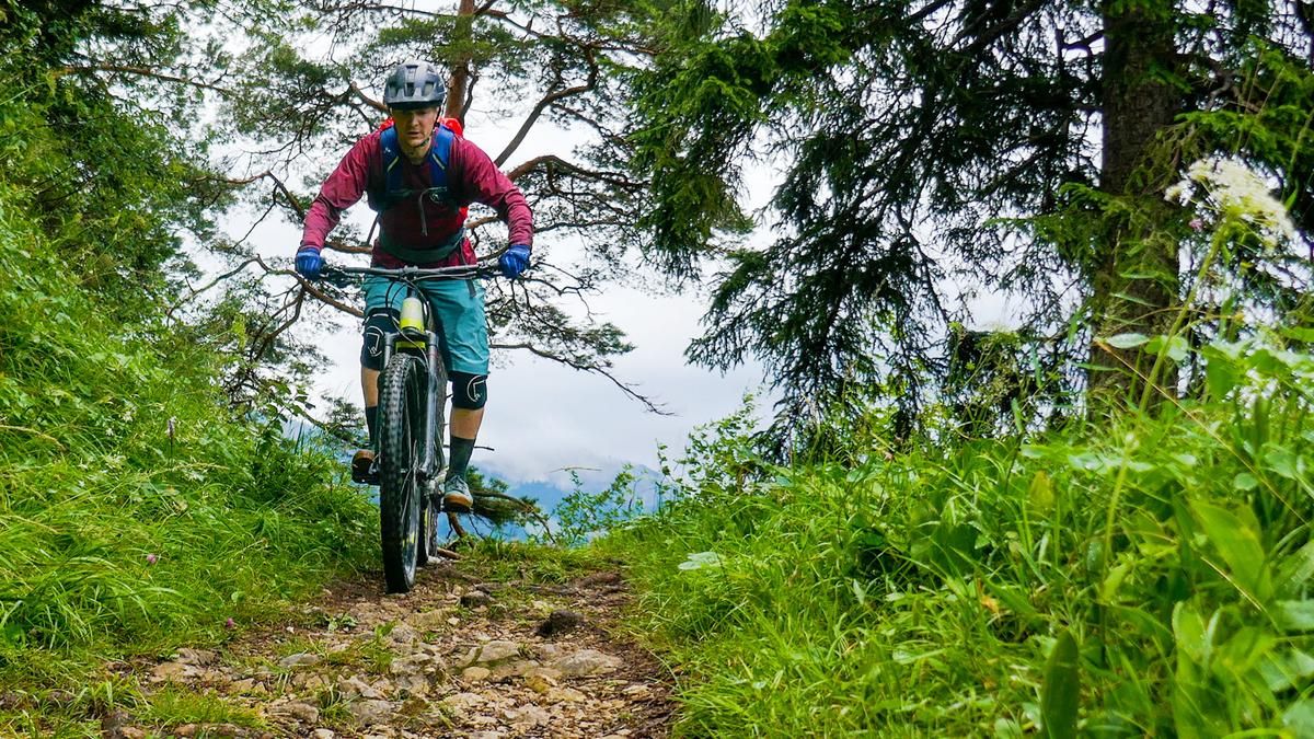
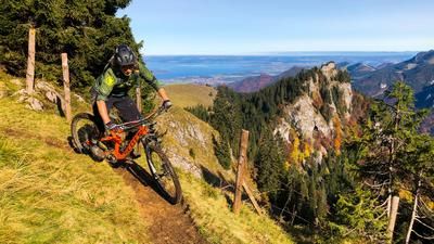
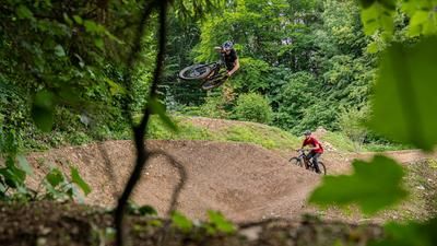
At first, the trail flows almost parallel to the slope to the west to a fork in the trail "Am Stachel" (821 meters above sea level). Continue downhill on a narrow path, never challenging, but fun throughout. In the lower section of the trail there are several variants, whereby the attached GPS track is certainly the best choice. All trails end in the Bernau district of Kraimoos (615 meters above sea level) not far from the Mariengrotte. If you still haven't had enough, turn right in Kraimoos towards Rottau (538 meters above sea level) and take the asphalt road up to the Berggasthof Adersberg (815 meters above sea level). Another trail starts here on the Reifenberg. Directly below the inn, switch to an inconspicuous meadow trail to the northeast and follow this trail up to the Lourdes Chapel Aufing. Now take the main road back to the starting point in Bernau am Chiemsee in just a few minutes.
Map & GPX-Track
The map is only available to Ride subscribers.
The Ride-Subscription is available at ride-mtb.com/abo
.
Details of the tour
17 km
690 m
690 m
535 above sea level
981 above sea level
1 day
Bernau am Chiemsee
Bernau am Chiemsee
2491
well suited
More information
More tours nearby









User comments (0)
Note: This content has been automatically translated from German. Please report any incorrect translations.