

Hochplatte

Description
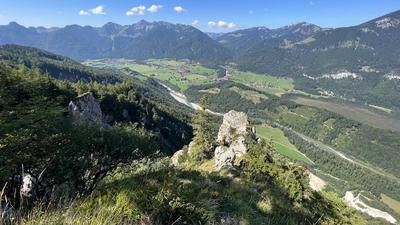
The tour starts and ends in Marquartstein (545 meters above sea level). First, the route leads along asphalt roads to the Niedernfels district and the valley station of the Hochplattenbahn cable car. From here, the steep but easy ascent begins towards the mountain station of the chairlift at the Staffn Alm (1050 meters above sea level). Shortly before reaching this, the again very steep alpine path branches off to the left, signposted uphill towards the Plattenalm (1320 meters above sea level) and on to the saddle (1417 meters above sea level) between Hochplatte (1584 meters above sea level) and Haberspitz (1433 meters above sea level). This saddle marks the end point of the mountain bike ascent. If you want, you can quickly climb the Hochplatte on foot or carry your bike to the summit and add a technical trail to the tour, but it can't compete with the following trails in terms of class.
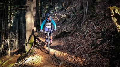
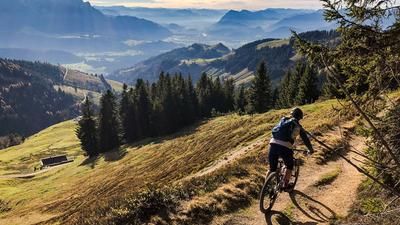
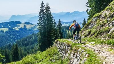
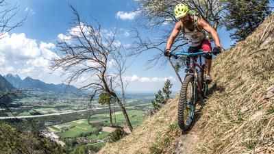
From the saddle, you first descend a few meters southwest on the alpine path to the Piesenhauser Hochalm before a trail branches off to the right in the direction of Friedenrath. Follow this trail, which is quite technical in some areas (S3 to S4 at the hairpin bends), downhill until you reach a forest road at the upper end of an extensive alpine pasture area. The summit of the Friedenrath (1432 meters above sea level) is left behind. There are two options further on, but both end at the Staffn Alm. You can either choose an easy root trail to the right of the alpine pastures or lift the bike over a pasture fence and roll across the alpine pastures of the Maier- and Naderbauernalm (picture). From the Staffn Am on gravel to the mountain station of the chairlift and to the right of the hang-glider launch ramp into a narrow trail (watch out for the barbed wire fence on the left), which you follow over several steps in a direct fall line until you reach a forest road again in the area of the Torkopf (844 meters above sea level). Cross this and mega-flow along a trail past the Zeppelinhöhe into the valley to Niedernfels and on to the starting point of the tour in Marquartstein.
Map & GPX-Track
The map is only available to Ride subscribers.
The Ride-Subscription is available at ride-mtb.com/abo
.
Details of the tour
19 km
930 m
930 m
542 above sea level
1420 above sea level
1 day
Marquartstein
Marquartstein
2545
well suited
More information
More tours nearby










User comments (0)
Note: This content has been automatically translated from German. Please report any incorrect translations.