

Rund um die Kampenwandl

Description
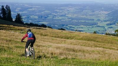
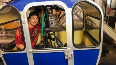
The logical starting point of the tour is the village of Rottau in the Achental valley (538 meters above sea level). From here, the route leads through the Rottau valley on good forest roads up to the Weissenalm (1008 meters above sea level), which is left to the right. Continue on, initially without any significant elevation gain, but later over steep ramps (Goriloch) on the always well-frequented mountain bike trail up to the Steinlingalm (1473 meters above sea level) below the striking rocky peaks of the Kampenwand. From the panoramic trail (many hikers) over to the Sonnenalm (1467 meters above sea level) next to the mountain station of the Kampenwandbahn.
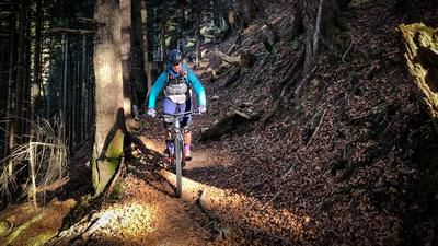
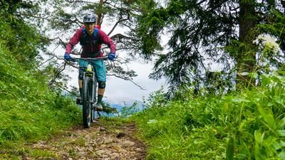
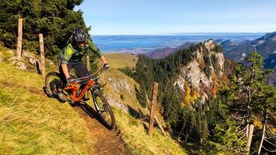
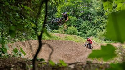
From here it gets lonelier. Which is a good thing. Because here begins a trail down to the Hintere Dalsenalm area (1042 meters above sea level), which has pretty much everything a classic pre-Alpine trail has to offer: at the beginning, there are always short pushing passages in the scree (partly uphill), flow over alpine meadows, root passages, serpentines, steps and steps. It's guaranteed not to be boring - as long as you feel comfortable on S3 to S4 terrain.
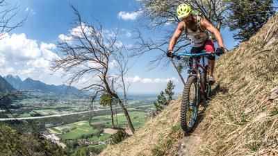
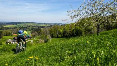
From the Hintere Dalsenalm, however, things quickly become more relaxed again: On good forest paths, the route descends into the Achental valley near Schleching/Mühlau and continues on mostly asphalted cycle paths to Marquarstein/Piesenhausen (542 meters above sea level). If you don't have the energy for another climb here, you can easily cycle back down the Achental valley to Rottau. If you still haven't had enough and fancy another trail, start from Piesenhausen via Niedernfels on good forest roads up to the Rachlalm (913 meters above sea level) at the foot of the Hochplatte. An easy, mostly flat trail rides from the Rachlalm to the Hefteralm (895 meters above sea level), which picks up speed again from the Hefteralm down to the starting point in Rottau without becoming really technical. A beautiful finale to a fantastic round tour!
Map & GPX-Track
The map is only available to Ride subscribers.
The Ride-Subscription is available at ride-mtb.com/abo
.
Details of the tour
38 km
1495 m
1495 m
542 above sea level
1512 above sea level
1 day
Rottau
Rottau
3079
limited
More information
More tours nearby









User comments (0)
Note: This content has been automatically translated from German. Please report any incorrect translations.