

Hochries

Description
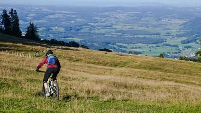
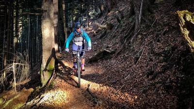
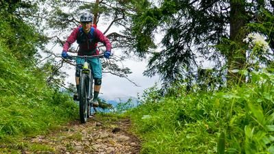
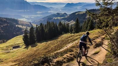
From the forest parking lot you start in the direction of Waldener Alm, after 1.2 km you turn right. Now there is a 4km long ascent, the higher you get, the steeper it gets. After the steep slab path to Plöcher Scheid, you come to a forest road and keep left to Seitenalm. This is where the trail begins, which goes up and down and then climbs a little at the end. You come to a saddle and ride across the alpine meadows towards the Riesenhütte. Shortly before the Riesenhütte, the forest road begins, which you follow until the junction on the right towards Hofalm. At the Hofalm, turn right over the gate and the Millitrail to Aschau begins. Unfortunately, the lower section of the trail has been defused and filled with gravel, making it much easier to ride. In Aschau, keep left and ride past the village. Continue along forest and meadow paths until you reach Lederstube. Ride past this village on the left and follow the road, which then turns to gravel and leads up to Zellboden. Shortly before Zellboden, continue right to Kräuterwiese and on to the Hochriesbahn middle station. Here you are at the Samerberg bike park. If you have time, you can do another lap here. Otherwise, turn left towards Spatenau, forest parking lot. After a while, you pass the Kolping Hütte and after the gate, take a sharp right onto a rough trail to the Spatenau parking lot. From here you reach the tarred road, which you follow in a southerly direction until you reach the sign for the forest parking lot and then uphill to the starting point.
Map & GPX-Track
The map is only available to Ride subscribers.
The Ride-Subscription is available at ride-mtb.com/abo
.
Details of the tour
34 km
1275 m
1275 m
617 above sea level
1420 above sea level
1 day
Aschau im Chiemgau
Aschau im Chiemgau
2349
well suited
More information
More tours nearby







User comments (0)
Background to Ride MTB
Ride MTB is dedicated to mountain biking. With the maps Ride Trail Maps and Trail Books and the print magazine Ride, it has played a formative role in alpine mountain biking for many years and has shaped it like few other organizations.
In addition to the publishing business, the company is now also active in product management and operating entire mountain bike projects. These include the tourism project Ride Travel and the development of modern and authentic mountain bike offers such as the Bahnentour in Davos Klosters, Engadin St. Moritz, Lenzerheide or Aletsch, as well as the creation of multi-day tours such as the Postauto-Tour or the Hüttentour.
Ride MTB GmbH was founded in 2001 (formerly Swiss Sports Publishing GmbH) and has been owned and managed by Thomas Giger since then.
Publishing and editorial address
Ride MTB GmbH
Falladagasse 11
CH-7212 Seewis
+41 81 413 43 43
info@ride-mtb.com
Subscription management
Advertisements
Administration
Bank details: Graubündner Kantonalbank.
CHF account. IBAN: CH86 0077 4010 2958 8310 1, BIC: GRKBCH2270A
EUR account. IBAN: CH32 0077 4010 2958 8310 3, BIC: GRKBCH2270A
Company identification number (UID): CHE-102.170.292
The brains behind Ride MTB









Note: This content has been automatically translated from German. Please report any incorrect translations.