

Hofalm-Runde mit Laubenstein

Description
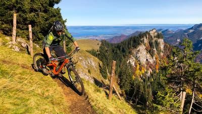
The route starts in Aschau im Chiemgau (615 meters above sea level) via a high-altitude trail to the Lederstube hiking parking lot in Frasdorf. From here via a forest road to the Frasdorfer Hütte (950 meters above sea level) with the newly opened Stubn (upscale gastronomy in an extensive alpine pasture area). At the next crossroads, the tour can be shortened to the left directly to the Hofalm (970 meters above sea level). If you want to reach the Laubenstein summit (1351 meters above sea level), keep right here and follow the gravel path up to around 1120 meters above sea level. Now turn left on a short downhill cart track and continue in steep hairpin bends up to the Laubensteinalm (1320 meters above sea level). Lock the bike here and walk the last few meters to the summit with a magnificent view of Lake Chiemsee. Even if it looks tempting, please do not push your bike to the summit. The Almer people are very sensitive in this regard.
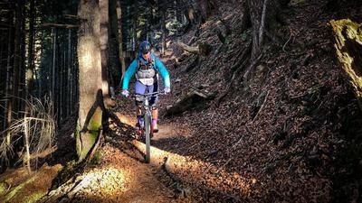
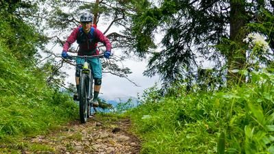
Take the Herweg, shortening the steep serpentines of the Karrenweg partly via easy, sometimes somewhat blocked trails, to an inconspicuous junction at around 1010 meters above sea level (sign "Hofalm"). Shortly through the forest, lift the bike over a pasture fence and over a flow trail in meadow terrain to the Hofalm. Stop for Debreziner and cheesecake!
East of the hut at the edge of the forest, an easy, albeit quite gravelly trail ("Milliweg") begins down into the Hammerbach district of Aschau. At the start of the trail, a sign warns you to push your bike, but controlled riding is tolerated. From Hammerbach back to the starting point via narrow village roads.
Map & GPX-Track
The map is only available to Ride subscribers.
The Ride-Subscription is available at ride-mtb.com/abo
.
Details of the tour
21 km
805 m
805 m
600 above sea level
1348 above sea level
1 day
Aschau im Chiemgau
Aschau im Chiemgau
2490
well suited
More information
More tours nearby





User comments (0)
Note: This content has been automatically translated from German. Please report any incorrect translations.