

Haindorfer Berg
Description
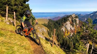
From the Kohlstatt/Aschau im Chiemgau hiking parking lot (672 meters above sea level), follow the signs past the last houses in the village toward Maisalm/Kampenwand. Following the paved alpine road over several steep inclines, you reach the open area of the staffed Maisalm (900 meters above sea level). However, the route does not lead directly to the alpine pasture but continues along the now gravel road toward Kampenwand. At a wide forest saddle, the forest road branches off in several directions. Heading up toward Haindorfer Berg (1,123 meters above sea level), you reach the plateau of the Sameralm (983 m) via an unmarked, steep road in a west-northwest direction—a brilliant view of Lake Chiemsee! About 100 meters before reaching the alp, you cross left onto the meadow without a trail. Bike tracks are usually visible. After crossing a pasture fence, follow the logical path and footpaths up the meadow slope to the highest point of Haindorfer Berg (1,123 meters above sea level). You’ll need to push your bike here, though you can definitely ride this section on an e-mountain bike.
At the very top, at the northwestern end of the alpine pasture, the singletrack begins at the edge of the forest.
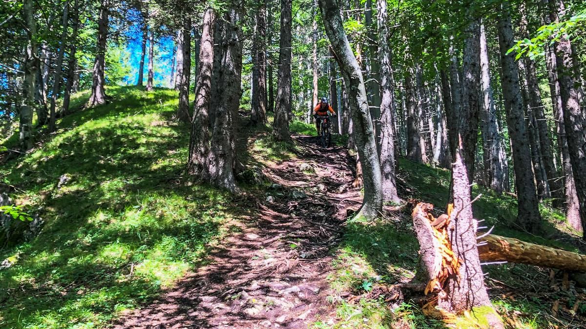
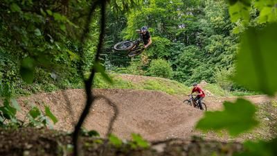
The first 100 meters of elevation gain on the Haindorfer Berg Trail head westward over a sun-drenched, often steep ridge with some tricky but rideable root sections. At a nearly vertical trail junction on steep terrain (brake early), take the trail sharply to the left. Tip: If you veer right into the slope for about 50 meters, you’ll come across a fantastic viewpoint bench high above Aschau im Chiemgau—perfect for a break! The ride continues on the crisp trail through switchbacks (no need to dismount) until you reach a forest road. Cross this road along the fall line. Over a final steep section, the now-flowing trail leads back to the parking lot in Kohlstatt. In the lower section of the Haindorfer Trail, there are various options, some featuring simple features built by locals. The entire Haindorfer Berg Trail is not a marked hiking trail; cyclists are mostly on their own here.Map & GPX-Track
The map is only available to Ride subscribers.
The Ride-Subscription is available at ride-mtb.com/abo
.
Details of the tour
5 km
460 m
460 m
646 above sea level
1122 above sea level
1 day
Aschau im Chiemgau
Aschau im Chiemgau
2043
well suited
More information
More tours nearby





User comments (0)
Note: This content has been automatically translated from German. Please report any incorrect translations.