

Spitzstein Trail-Safari
Description
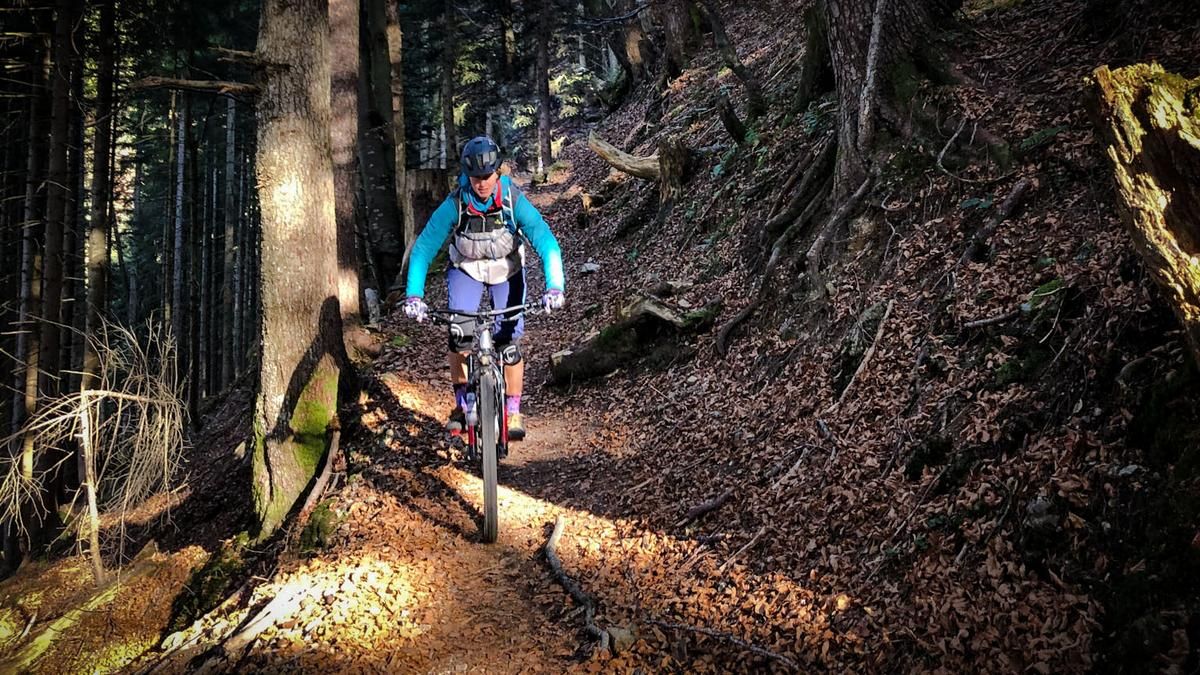
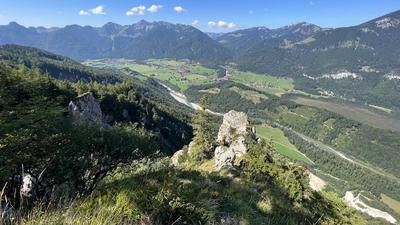
From Aschau im Chiemgau (615 meters above sea level), you initially follow the signposted cycle path up and down towards Frasdorf (598 meters above sea level). Passing the Lederstube hiking parking lot and the district of Soilach, you finally reach the so-called Kräuterwiese at the foot of the Hochries (890 meters above sea level). Continue uphill on a good forest path in a north-easterly direction until a short trail on the right leads to the former Winterstubn farm. Now over alpine and forest paths, finally in a steep ascent, to a small saddle west of the Laubenstein (1273 meters above sea level).
Continue slightly downhill on a good cart track until you reach the Oberwiesenalm (1187 meters above sea level) and shortly afterwards cross the border between Bavaria and Tyrol. Now take an easy alpine meadow trail down to the Unterwiesenalmen (1088 meters above sea level) and continue on a wide forest road. roll out of the Tockenbachtal valley until, shortly after the turn-off to the Schwarzrieshütte, a forest path leads up to the Altkaseralm on the left. Follow this uphill for just under 350 meters. The path becomes narrower in the upper section, but apart from a short passage it remains rideable throughout. Finally, steeply over a concrete road to the Altkaseralm (1279 meters above sea level). With the best views of the lower Inn Valley, it's worth stopping for a bite to eat here before the big trail finale down to the mountaineering village of Sachrang begins.
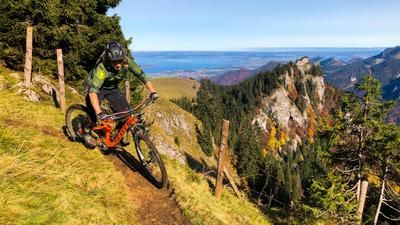
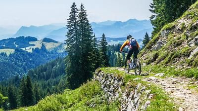
The Spitzsteinhaus (1252 meters above sea level) is quickly reached via a short trail descent, where there are usually a few hikers. The route continues for around 300 meters on an alpine path parallel to the slope to the east, back over the border to Bavaria and finally to the starting point of the great trail down into the Priental valley. Short stretches of alpine pasture are followed by a longer section in the forest with some root passages and smaller rock steps. Shortly before the bottom of the valley, a narrow asphalt road leads directly to the church of Sachrang (738 meters above sea level). With one exception - a somewhat exposed steep section (S3) - this ingenious pre-alpine trail offers the finest flow. Back to Aschau im Chiemgau, you follow the Priental cycle path for around ten kilometers, mostly rolling.
Map & GPX-Track
The map is only available to Ride subscribers.
The Ride-Subscription is available at ride-mtb.com/abo
.
Details of the tour
44 km
1320 m
1320 m
601 above sea level
1284 above sea level
1 day
Aschau im Chiemgau
Aschau im Chiemgau
1773
well suited
More information
More tours nearby










User comments (0)
Note: This content has been automatically translated from German. Please report any incorrect translations.