

Schreckalm-Trail

Description
The start of the circular tour is in Walchsee in Tyrol (658 meters above sea level). First leave the town center to the northeast on asphalt and continue on a good alpine road in the direction of Ottenalm. At the height of the Riederalm, i.e. before reaching the Ottenalm, turn left, cross the state border into Bavaria and continue up to the Priener Hütte (1411 meters above sea level) in the beautiful Geiglstein area. It's worth stopping off here.
After a short descent in the direction of Sachrang, take the first turn-off to the right and continue steeply uphill, always following the signs for "Geiglstein". After around 100 meters in altitude, you will reach a crossroads. Turn left here to the Sulzingalm (1490 meters above sea level), where the long trail (signposted "Jägersteig") down to Sachrang/Huben starts.
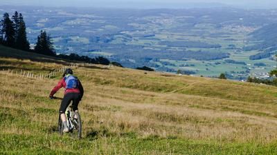
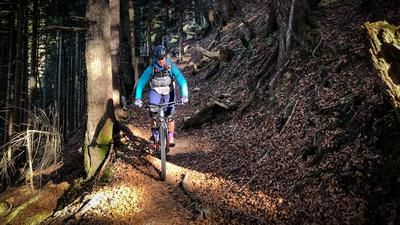
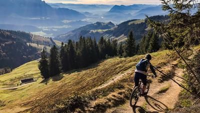
First a gentle flow over beautiful alpine pastures with great views to the Schreckalm (1413 meters above sea level). After a short steep section directly behind the alpine pasture, another leisurely meadow trail follows. Follow this until you reach the edge of the forest. Briefly cross a forest road and soon turn left into the technical part of the trail. The Jägersteig trail now rides over countless, more or less difficult root passages down to the Sachrang district of Huben. In the lower section, before you reach a technically easy cart path again, you can also expect some pushing sections, depending on your ability.
Once you reach the Priental valley near Huben, head south and later east on the cycle path via Sachrang and Rettenschöss back to the starting point in Walchsee.
Map & GPX-Track
The map is only available to Ride subscribers.
The Ride-Subscription is available at ride-mtb.com/abo
.
Details of the tour
28 km
970 m
970 m
659 above sea level
1511 above sea level
1 day
Walchsee
Walchsee
2998
well suited
More information
More tours nearby






User comments (0)
Note: This content has been automatically translated from German. Please report any incorrect translations.