

Fellhorn – Hindenburghütte

Description
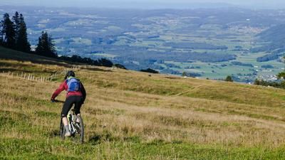
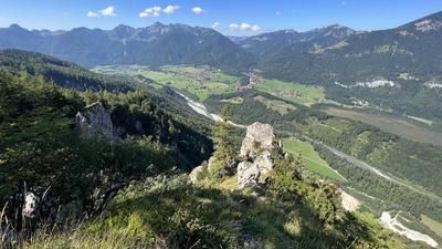
The tour starts in the small town of Reit im Winkl in Bavaria. From here, the route runs parallel to the German Alpine road towards Schwarzlofer along the Schwarzloferbach stream to Seegatterl. Now the route continues on gravel, idyllically past the Nattersbergalm on a "forest highway" up to the Hindenburghütte (1260 meters above sea level). From the Hindenburghütte, continue in the same manner to the Straubinger Haus. Now follow a dirt road towards Hochtritt and push or carry your bike up to the Fellhorn (1764 meters above sea level). Unforested and on meadows, you have a fabulous panorama of the Tyrolean lowlands and the Bavarian border region.
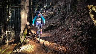
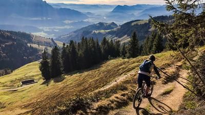
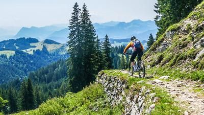
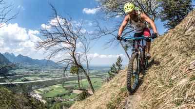
The descent runs directly from the Fellhorn on the 27er trail towards Straubinger Haus constantly on S2, but there are some treacherous S3 sections. In wet conditions, the whole descent becomes more selective, as the stones with soil become very slippery. From the Straubinger Haus, the route is relatively flowy. In places, however, there are S3 and even S4 sections. The route continues in this mix to the Sulzner Kaser. It should also be noted here that the trail should be avoided after rainfall or a long wet period. Too much earth and wet stones make the trail unrideable in places. Rolling out to the Hindenburghütte, the route then follows a wide and very flowy S1 trail directly down to Gut Steinbach. With a historical background, this trail is paved with natural stones and offers a very rewarding descent on a constant gradient. From Gut Steinbach, there are a few more valley paths and flowing trail sections via Benzeckstüberl and Krautloider.
Note: The route is located on Austrian territory and leads over routes that are not approved for mountain bikers. Riding this route on a mountain bike is the responsibility of each individual, in full awareness of the legal situation.
Map & GPX-Track
The map is only available to Ride subscribers.
The Ride-Subscription is available at ride-mtb.com/abo
.
Details of the tour
34 km
1125 m
1125 m
657 above sea level
1736 above sea level
1 day
Reit im Winkl
Reit im Winkl
2570
limited
More information
More tours nearby





User comments (0)

About the author: Martin Depauli
Note: This content has been automatically translated from German. Please report any incorrect translations.