

Lochner Horn

Description
The tour starts on the northern shore of Lake Walchsee, a tourist hotspot that you quickly leave behind as you cycle relaxed on asphalt towards Schwemm. You then follow the official cycle route on gravel, past the Hitscheralm in the direction of the Brennalm. Shortly before the Brennkopf, you turn left, leave the gravel path, which is easy to cycle on, and reach a cart path and a trail section that leads to the Wandberghütte. A short pushing section is planned here.
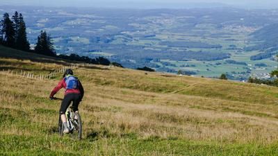
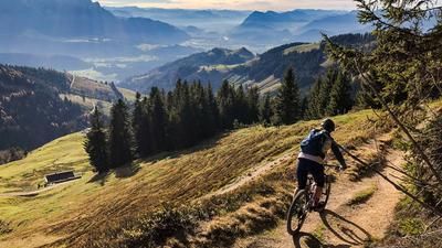
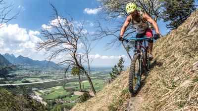
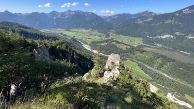
From the Wandberghütte, you can enjoy impressive panoramic views as far as the Hohe Tauern, including the Großglockner and Großvenediger, until you reach the Lochner Horn, which is located relatively to the east. The views there are far-reaching and rewarding in good weather conditions. You then return to the start of the trail at the mountain hut buildings. The descent starts with a difficulty level of S1, but there are sections with a level of S3. This character continues past a waterfall and along a brick cart path reminiscent of a mule track in Italy, perfectly integrated into the landscape.
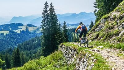
At Halbwart, you briefly reach a gravel road before the last section with some challenging hairpin bends and descents leads to Winkl. Overall, the descent can be classified as a difficulty level between S2 and S3. The route should ideally be ridden in dry conditions to avoid erosion damage to the meadows. From Winkl, a short section on asphalt and a final trail cut-off lead back to Walchsee, bringing the loop to a close.
Note: The route is located on Austrian territory and leads over routes that are not approved for mountain bikers. Riding this route on a mountain bike is the responsibility of each individual, in full awareness of the legal situation.
Map & GPX-Track
The map is only available to Ride subscribers.
The Ride-Subscription is available at ride-mtb.com/abo
.
Details of the tour
19 km
770 m
770 m
659 above sea level
1411 above sea level
1 day
Walchsee
Walchsee
3214
well suited
More information
More tours nearby






User comments (1)

About the author: Martin Depauli
Note: This content has been automatically translated from German. Please report any incorrect translations.
The ascent is very scenic and there are always views of the Walchsee.
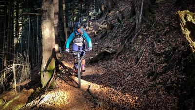
The downhill trail is mixed: sometimes a really nice forest trail, but then again and again meadow trails, which have been somewhat affected in some places by the use of cows.