

Prostkogel

Description
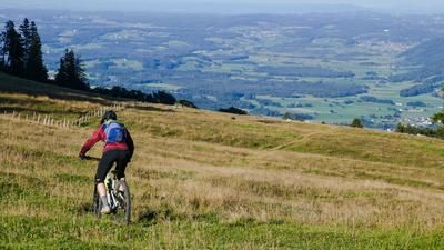
The tour starts in Kirchdorf in Tirol. First, you roll up the little-used road towards Gasteig on asphalt. There you change to the B176 country road and pedal on towards Kössen. In the Rupertsau area, turn right and begin the uphill to the Hinterberg region, which is a pleasant ride with a moderate to medium gradient. From Hinterberg, the scenery becomes particularly attractive: the views of the Wilder Kaiser and the main Alpine ridge intensify with every meter of altitude. The asphalt soon ends and the trail rides over gravel up to the plateau near the Sprissleralm. The next panoramic view is not long in coming.
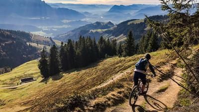
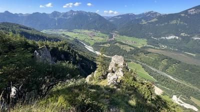
A short descent towards Prostalm follows before the final ascent to the summit cross begins. The route can be ridden all the way - partly on forest paths and cart tracks, only the last few meters to the summit are on a trail. The view from the highest point is magnificent: Großvenediger, Kitzbüheler Horn, Wilder Kaiser and the Chiemgau Alps line up in the wide panorama.
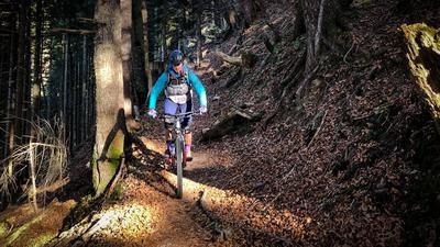
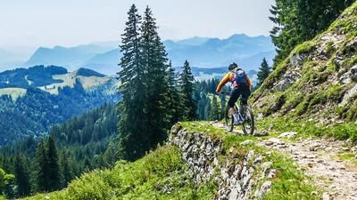
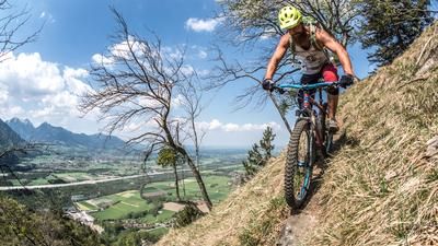
The trail descent is technically challenging and ranges between difficulty levels S2 and S3. The section down to the Pfarralm is particularly selective - with a southern flair, loose gravel and several key passages. After a short cross-country-style traverse to the Pfarralm, the descent back to Hinterberg follows. From here, another highlight awaits: a historic-looking alpine path, reminiscent of a mulattiera or old military path, leads downhill at a steady gradient. The last few meters run along the Luigambach stream on an idyllic riverside path - a perfect line back to Kirchdorf.
Note: The route is located on Austrian territory and leads over routes that are not approved for mountain bikers. Riding this route on a mountain bike is the responsibility of each individual, in full awareness of the legal situation.
Map & GPX-Track
The map is only available to Ride subscribers.
The Ride-Subscription is available at ride-mtb.com/abo
.
Details of the tour
18 km
645 m
645 m
639 above sea level
1222 above sea level
Kirchdorf in Tirol
Kirchdorf in Tirol
3433
well suited
More information
More tours nearby







User comments (0)

About the author: Martin Depauli
Note: This content has been automatically translated from German. Please report any incorrect translations.