

Rauher Kopf

Description
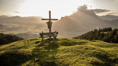
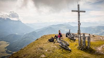
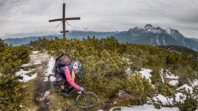
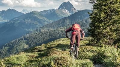
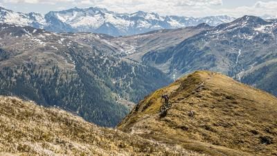
The tour starts in Kirchberg in Tirol. The route first climbs up on asphalt towards Weinberg before changing to the official Rauher Kopf cycle route. Just below the former Filzerhof inn, an impressive panoramic view opens up over the Brixental valley, across to the Hohe Tauern and the striking Großer Rettenstein. The ascent continues on gravel paths through dense forests before the last few meters to the Friedenskreuz can only be managed by pushing or carrying. Once at the top, the summit cross of the Rauhen Kopf offers a rewarding view despite its overgrown location - especially of the downhill sections to come.
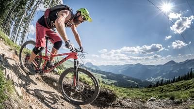
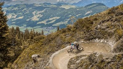
A challenging trail with difficulty level S3, in places S2, starts from the summit. The trail descends to the west on a partly blocked path until you reach the Rauher Kopf cycle route again. This takes you on a relaxed ride out of the valley until you cross the ridge towards the Sun Trail. Shortly before the start, there is a small climb at the Naser-Niederalm. Then the official single trail begins, which is divided into two sections:
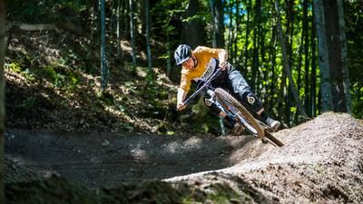
- Upper section: Very flowy, difficulty S1, with berms, wooden elements and root passages - ideal for technically experienced pleasure riders.
- Lower section: Much more playful, with numerous jumps and shaped lines along a small stream - real trail fun with a bike park character.
After the trail, the route climbs again towards Ruetzenhof, where a final singletrail section awaits. In Bockern, you briefly cross the main road and finally reach the cycle path, which takes you back to Kirchberg.
Note: The route is located on Austrian territory and leads over routes that are not approved for mountain bikers. Riding this route on a mountain bike is the responsibility of each individual, in full awareness of the legal situation.
Map & GPX-Track
The map is only available to Ride subscribers.
The Ride-Subscription is available at ride-mtb.com/abo
.
Details of the tour
22 km
870 m
870 m
816 above sea level
1539 above sea level
Kirchberg in Tirol
Kirchberg in Tirol
3434
limited
More information
More tours nearby








User comments (0)

About the author: Martin Depauli
Note: This content has been automatically translated from German. Please report any incorrect translations.