

Spießnägel-Umrundung
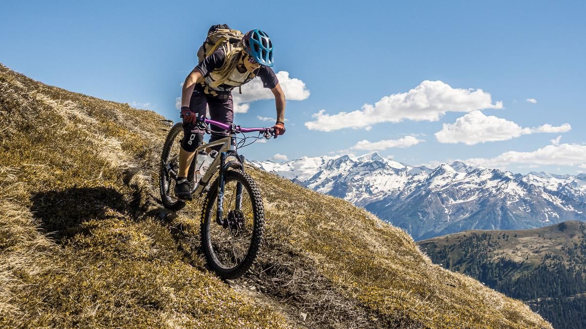
Description
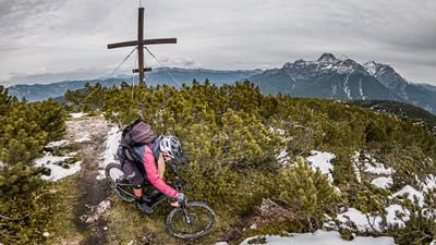
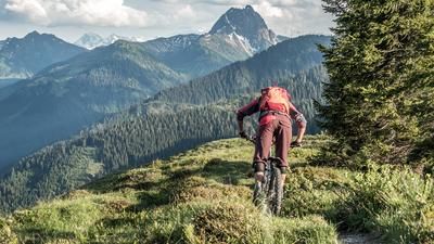
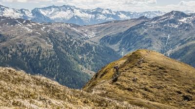
The tour starts in Aschau at the Kneipp facility. From here, the route follows the official bike trail, the Aschauer Höhenweg, steadily uphill, past the Ragstattalm and the Rettensteinalm. The landscape is already impressive at this point, and you’ll encounter only a few other mountain bikers. The official bike route continues to the Stangenjoch, though the final few meters must be covered by pushing the bike along the trail. Afterward, you’ll carry your mountain bike on your back from 1,750 meters above sea level up to the Schöntaljoch at 2,050 meters above sea level. The Grosse Rettenstein and, further south, the Hohe Tauern are particularly striking features of the landscape. Once you reach the Schöntaljoch, you cross the trail toward the Grosse Rettenstein—riding in some sections and pushing in others—where you rejoin the official hiking trail.
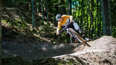
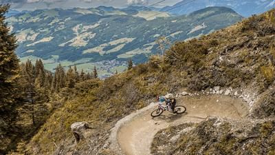
This is where the actual trail descent begins. Between S3 and S4, the trail starts with a few challenging key sections before the route eventually becomes easier and rejoins the bike route. The ride continues along trail shortcuts toward the Rettenstein Loop, where the difficulty level fluctuates between S3 and S2. Below the so-called “Spiessnägel,” you cross the official bike route again toward Hirzeggalm and, below Hirzeggalm, take the next trail shortcut to the Jägersteig. If you want to add a few more meters of elevation gain, you can stop for a break at the Hirzeggalm. The Jägersteig, rated S2 in difficulty and featuring several hairpin turns, leads steadily downhill to the starting point of the loop, the Kneipp facility. Overall, it’s a varied all-mountain tour with sections where you’ll need to push or carry your bike, as well as challenging stretches, and it should be done outside of weekends and holiday periods, as there’s otherwise too much foot traffic at the Grosser Rettenstein.
Note: The route is located on Austrian territory and leads over routes that are not approved for mountain bikers. Riding this route on a mountain bike is the responsibility of each individual, in full awareness of the legal situation.
Map & GPX-Track
The map is only available to Ride subscribers.
The Ride-Subscription is available at ride-mtb.com/abo
.
Details of the tour
17 km
1120 m
1120 m
1013 above sea level
2047 above sea level
1 day
Aschau
Aschau
3755
not suitable
More information
More tours nearby







User comments (0)

About the author: Martin Depauli
Note: This content has been automatically translated from German. Please report any incorrect translations.