

Rossgruber
Description
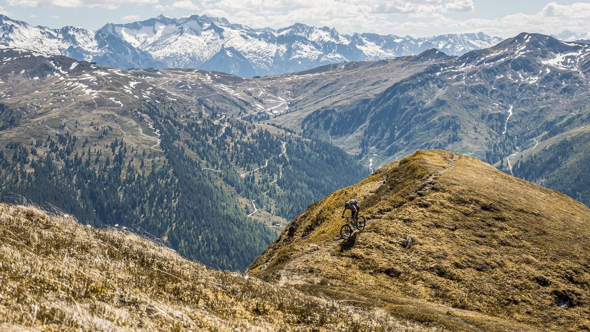
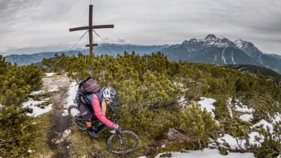
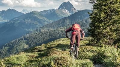
The tour begins in Aschau. From here, the official “Aschauer Höhenweg” bike route follows a gravel path with moderate to gentle gradients toward the Rettensteinalm. It then continues along a cart track and mule trail into increasingly rugged terrain, which eventually transitions into a trail leading up to the Stangenjoch. The scenery is breathtaking, especially the Kleine and Grosse Rettenstein set against this mountain panorama. From the Stangenjoch, the route continues down through the Stangenalm on a gravel forest road toward the 2,000er. The Jochberg ski area begins at the 2000er; here, you’ll have to push or carry your mountain bike up the southeast ridge to the Rossgruber. Just before the summit, there’s a mountain bike drop-off point; you’ll cover the last few meters on foot, as the view is breathtaking. In this area, you’ve earned the view of the Wilder Kaiser, the Hohe Tauern, and the striking Kitzbühel Alps.
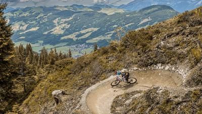
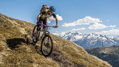
Then the trail descent begins. At first, it runs along the ridge, which is exposed in places. At a short key section, about five to ten meters long, you’ll need to push your mountain bike; sure-footedness and a head for heights are required here. Afterward, the trail descent—rated S2 to S3—leads back over the ridge with breathtaking panoramic views to the Stangenjoch. At the Stangenjoch, the trail becomes smoother and leads back to the Rettensteinalm at an S1 difficulty level via trail shortcuts. Here, it’s important to pay attention to the trail markers, as the shortcuts are marked but not shown on the map. From the Rettensteinalm, you ride down a gravel path to the Ragstattalm—a descent of about 100 meters in elevation—and then follow the Aschauer Höhenweg to the Seewaldalm. At the Seewaldalm, the next trail section begins—rated S2, with some sections rated S3—which leads directly back to Aschau. Overall, this is a very impressive tour that requires alpine experience and sure-footedness.
Note: The route is located on Austrian territory and leads over routes that are not approved for mountain bikers. Riding this route on a mountain bike is the responsibility of each individual, in full awareness of the legal situation.
Map & GPX-Track
The map is only available to Ride subscribers.
The Ride-Subscription is available at ride-mtb.com/abo
.
Details of the tour
24 km
1180 m
1180 m
1010 above sea level
2093 above sea level
1 day
Aschau
Aschau
3750
not suitable
More information
More tours nearby







User comments (0)

About the author: Martin Depauli
Note: This content has been automatically translated from German. Please report any incorrect translations.