

Kirchberg

Description
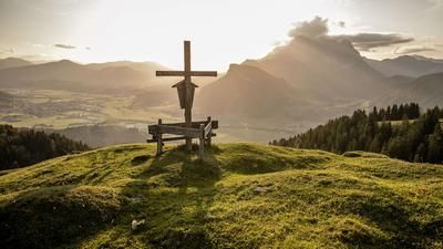
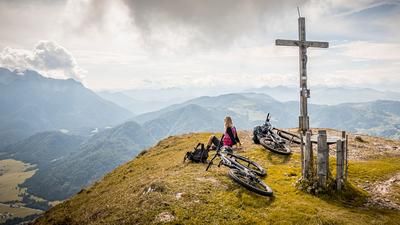
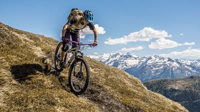
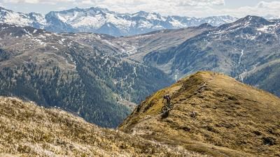
The starting point of the tour is the market town of St. Johann in Tirol. From here, you pedal along the cycle path slightly downhill to Kirchdorf in Tirol. In the hamlet of Habach, you then take the official cycle route on a forest highway towards Gerstbergalm. The ascent is somewhat lengthy, but the scenery is a delight from Mitterberg onwards. The Wilder Kaiser massif can be seen to the west and the Hohe Tauern can be seen to the south. At the Gerstbergalm, you still have to pedal a few meters before pushing or carrying your bike up to the Kirchberg (1678 meters above sea level). At the summit, you are surrounded by a few mountain pines, but this area is light enough to enjoy the mountain scenery. As the elevation is one of the highest in the surrounding area, the panorama is just as spectacular.
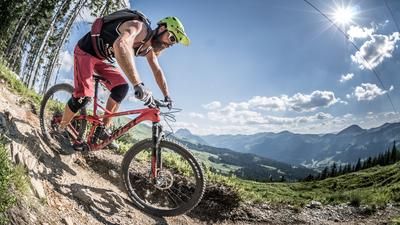
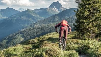
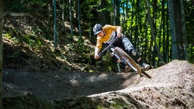
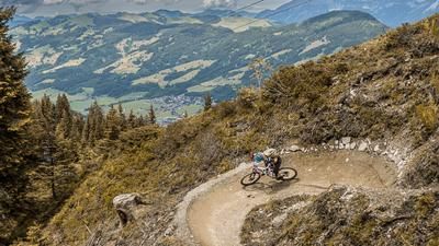
The trail descent is just as spectacular. From Kirchberg, take the ascent variant down towards Gerstbergalm. At difficulty level S2, it leaves nothing to be desired. From the Gerstbergalm, the route continues to the Winterstelleralm. The official bike section settles at difficulty level S2, although some sections also require pushing. From the Winterstelleralm, you cross the local conditions once again under Wallerberg in the direction of the Lehrbergalm, although only sections here are rideable. From the Lehrbergalm, it's on to the brilliant finale. A hairpin bend trail with difficulty S2 through an idyllic forest leads behind to Schartental. From Schartental, you then take the official cycle path via St. Jakob in Haus back to St. Johann in Tirol with a moderate gradient and directly into the picturesque old town.
Note: The route is located on Austrian territory and leads over routes that are not approved for mountain bikers. Riding this route on a mountain bike is the responsibility of each individual, in full awareness of the legal situation.
Map & GPX-Track
The map is only available to Ride subscribers.
The Ride-Subscription is available at ride-mtb.com/abo
.
Details of the tour
39 km
1280 m
1280 m
643 above sea level
1666 above sea level
1 day
St. Johann in Tirol
St. Johann in Tirol
2628
limited
More information
More tours nearby






User comments (1)

About the author: Martin Depauli
Note: This content has been automatically translated from German. Please report any incorrect translations.
The 1.5 km long crossing from the Wintersteller Alm is a 97% pushing passage.