

Schöntaljoch

Description
The tour starts in Aschau in Spertental, south of Kirchberg. In the heart of the Kitzbühel Alps, follow the gravel road out of the valley into the Oberer Grund. Past the Klooalm, the trail climbs steadily, but becomes increasingly rough and steep. Finally, the pushing section up to the Stangenjoch begins - a section that captivates with its impressive mountain scenery and secluded atmosphere.
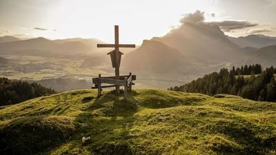
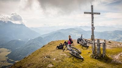
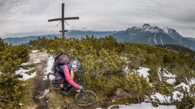
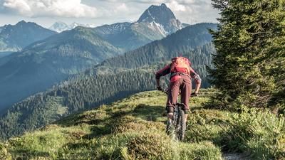
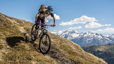
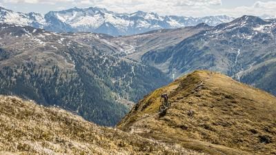
From the Stangenjoch, follow the forest road westwards before the mountain bike ends up on the back again. A narrow path takes you to the Schöntaljoch at 2030 meters above sea level - the highest point of the tour. At the foot of the Grosser Rettenstein, you can enjoy breathtaking views towards the Hohe Tauern and Wilder Kaiser.
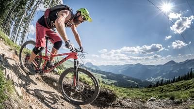
The descent begins right on the ridge and offers a varied mix: between difficulty levels S1 and S2, and even S3 in places. Short counter-climbs are also included. Below the Spießnägel, keep to the right and follow a former mule track, which increasingly becomes a smooth cart track. This takes you to the gravel road, on which you roll comfortably to the Hirzeggalm. A stop here is definitely worthwhile - good food and views included.
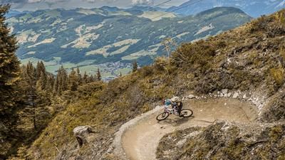
Afterwards, you can head south along the Jägersteig trail or choose the old alpine path on the right. The route is reminiscent of historic military paths on the main Alpine ridge. The trail descends towards the valley in even serpentines and with difficulty level S1. Caution: Forestry work is currently taking place in this area and sections of the trail are being converted into a forest road - caution is advised.
Back on the original uphill route, pedal briefly uphill again to the Ragstattalm. There you branch off onto the high trail, which leads to the hiking trail above Aschau. This offers another varied descent: the trail meanders between S1 and occasionally S3 back to the starting point.
Conclusion: A scenically magnificent and technically varied circular tour with alpine character, spectacular views and secluded paths. If you want to skip the last trail variant, you can alternatively roll directly back to Aschau via the gravel road.
Note: The route is located on Austrian territory and leads over routes that are not approved for mountain bikers. Riding this route on a mountain bike is the responsibility of each individual, in full awareness of the legal situation.
Map & GPX-Track
The map is only available to Ride subscribers.
The Ride-Subscription is available at ride-mtb.com/abo
.
Details of the tour
26 km
1235 m
1235 m
1 day
Aschau im Chiemgau
Aschau im Chiemgau
3509
not suitable
More information
More tours nearby







User comments (0)

About the author: Martin Depauli
Note: This content has been automatically translated from German. Please report any incorrect translations.