

Schwarzkogel

Description
The tour starts at the Pengelstein 1 valley station lift parking lot and begins on asphalt towards Ochsalm with a medium to moderate ascent. Past the Ochsalm and through the Kirchberg in Tirol ski area, the trail rides over a few hairpin bends on gravel to the Jufenalm. Here you can already enjoy an impressive panorama, with the lift stations gradually disappearing from view, especially from the Pengelstein and completely from the Hiesleggsee. Incidentally, a single ride on the Fleckalmbahn or Hahnenkammbahn can shorten the tour considerably and save a few hundred meters in altitude.
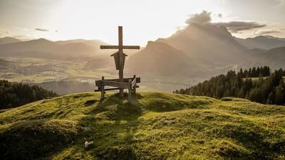
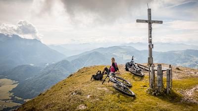
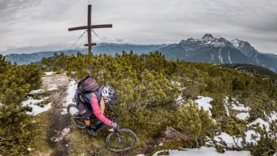
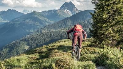
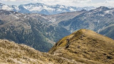
The first trail descent begins at the Hochsaukaser. The level of difficulty here is S1, while the route continues along the meadow to the saddle, where the final ascent begins. The bike is carried on the back and the final spurt to the summit begins. At 2030 meters above sea level, you reach the highest point with a magnificent view of the Hohe Tauern in the south and the Wilder Kaiser as well as the striking mountains of the Kitzbühel Alps in the north.
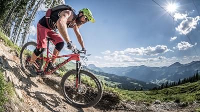
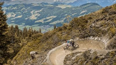
The descent is formative and striking. The level of difficulty is S2 to S3 in the upper section up to the Kleinmoosalm. From the Kleinmoosalm, the difficulty level remains at S2, whereby hairpin bends should be mastered in order to ride the trail cleanly and without shortcuts, especially in the lower section just above Aschau. Once in Aschau, the trail leads back to the starting point along the Aschauer Höhenweg on the official cycle route and along the Aschauer Ache river.
Note: The route is located on Austrian territory and leads over routes that are not approved for mountain bikers. Riding this route on a mountain bike is the responsibility of each individual, in full awareness of the legal situation.
Map & GPX-Track
The map is only available to Ride subscribers.
The Ride-Subscription is available at ride-mtb.com/abo
.
Details of the tour
22 km
1140 m
1140 m
906 above sea level
1975 above sea level
1 day
Aschau
Aschau
3183
not suitable
More information
More tours nearby







User comments (1)

About the author: Martin Depauli
Note: This content has been automatically translated from German. Please report any incorrect translations.
One of the better tours in the area, ascent is long and not very rewarding, can be shortened by train without a guilty conscience.