

Angerlalm Kreuz

Description
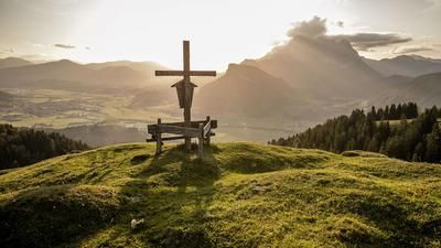
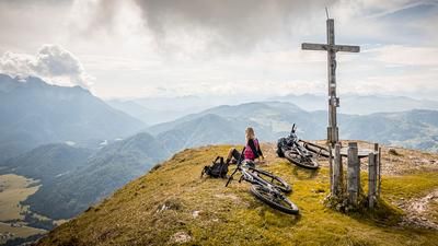
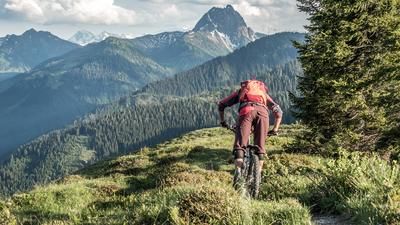
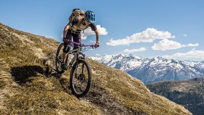
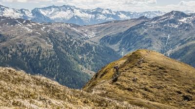
The route starts in Kirchdorf in Tirol. From here, the trail first rides briefly along the Loferer Straße and branches off onto the official mountain bike route towards Angerlalm in the Habach area. The uphill already offers some panoramic highlights, even if the medium and moderate gradients slow you down a little from time to time. In the upper section, at around 1100 meters above sea level, you reach a plateau where you turn left towards the Angerlalm and briefly enjoy a very smooth trail. It's not far now until you reach the summit cross above the Angerlalm - the highest point of the tour. The view here is breathtaking, with the Loferer Steinberge dominating the panorama.
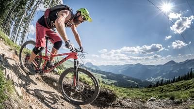
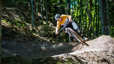
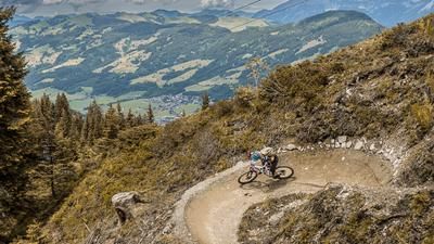
The descent starts directly from the summit and is a paradise for lovers of hairpin bends. Even on the first few meters, a shifting technique is required. Passing a small mountain lake, the trail rides in cross-country style through an upland moor with a few up and down sections before reaching the Huberalm. From here, the trail becomes more challenging: in the S2 to S3 section, the descent is steady and increasingly steep. The steepness reaches its maximum in the lower section in particular - full concentration and active front wheel management are required to get safely down into the valley. It is essential to observe: Trail etiquette! Cut-offs must be strictly avoided. At the bottom of the valley, you cross the main road near the Grießbachklamm parking lot, then surf a flowing trail along the stream and finally follow the cycle path along the Ache river back to Kirchdorf.
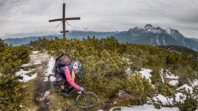
Conclusion: A very interesting and technically challenging circular tour with a magnificent panorama, which unfolds its full potential especially in autumn and spring.
Note: The route is located on Austrian territory and leads over routes that are not approved for mountain bikers. Riding this route on a mountain bike is the responsibility of each individual, in full awareness of the legal situation.
Map & GPX-Track
The map is only available to Ride subscribers.
The Ride-Subscription is available at ride-mtb.com/abo
.
Details of the tour
16 km
530 m
530 m
628 above sea level
1157 above sea level
Kirchdorf in Tirol
Kirchdorf in Tirol
3422
well suited
More information
More tours nearby







User comments (0)

About the author: Martin Depauli
Note: This content has been automatically translated from German. Please report any incorrect translations.