

Rettenstein-Umrundung

Description
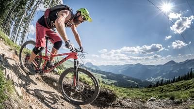
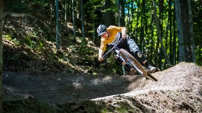
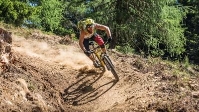
The tour should be started on a stable summer's day, as it is a long and day-long undertaking. The starting point is the Fleckalmbahn parking lot, which saves around 1000 meters of ascent. The first descent via the Hahnenkamm Bike Trail to Kitzbühel begins at the Ehrenbachhöhe mountain station at almost 1800 meters above sea level. This runs at difficulty levels S1 to S2, with numerous hairpin bends and flowing intermediate sections, and rides directly into the town of Gams.
From Kitzbühel, you continue towards Jochberg under your own steam. After crossing the town center, you follow the old Roman path south along the Ache river to Pass Thurn. A small drop of bitterness is that the last few meters cannot be bypassed and have to be tackled on the main road. Once you arrive at Pass Thurn, you roll briefly downhill to the Panoramabahn Kitzbühel Alps and use its section 2 to effortlessly conquer another 700 meters in altitude.
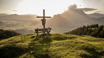
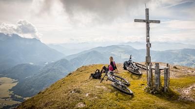
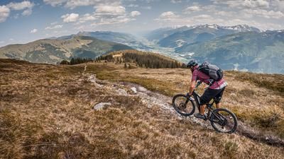
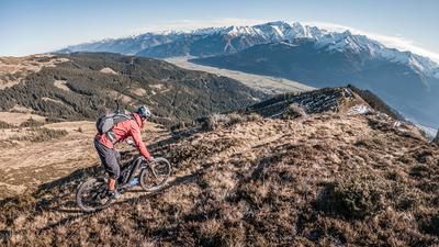
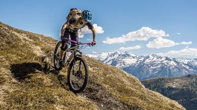
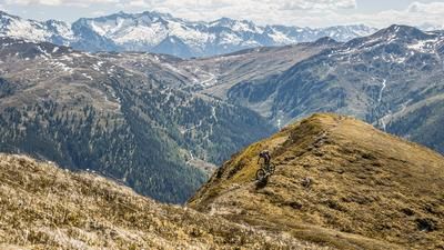
On the Resterhöhe (1900 meters above sea level), the next self-pedalled section begins: a spectacular ridge crossing over the Resterhöhe to the Hartkaser and the Panorama Alm. The view stretches from the Wilder Kaiser to the Hohe Tauern, with views of the Großvenediger and Großglockner.
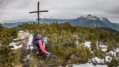
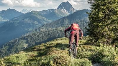
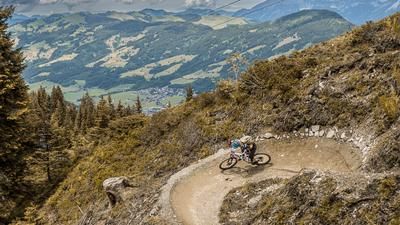
The next section is a mix of trail and forest road to the Stangenjoch, which marks the border between Salzburg and Tyrol. Here begins a long descent along an old mule track towards Aschau to the Rettensteinalm, which is relatively easy to ride. From the Ragstattalm, the route leads along a forest road to the next ascent on the Aschauer Höhenweg, which rides up to the Seewaldalm. Then turn left and follow the hiking trail to Aschau, which is classified as S2-S3. A good hairpin bend technique is an advantage here.
The last section is a relaxed ride via the Spertental valley back to Kirchberg in Tirol, where you can use some trail cut-offs via the bathing lake. If you still have energy left, you can add an additional trail towards Mühlbach at the Panorama Alm and take the Fleckalmbahn sections 1 and 2 up again to ride another trail.
A useful tip: there are always offers with the Kitzbühel Alps Card, which allows you to use the cable cars as a day ticket.
Note: The route is located on Austrian territory and leads over routes that are not approved for mountain bikers. Riding this route on a mountain bike is the responsibility of each individual, in full awareness of the legal situation.
Map & GPX-Track
The map is only available to Ride subscribers.
The Ride-Subscription is available at ride-mtb.com/abo
.
Details of the tour
54 km
840 m
2350 m
763 above sea level
1943 above sea level
Kirchberg in Tirol
Kirchberg in Tirol
3384
well suited
More information
More tours nearby












User comments (1)

About the author: Martin Depauli
Note: This content has been automatically translated from German. Please report any incorrect translations.
Very nice tour. However, the traverse below the Hartkasers is difficult to ride, but could also be bypassed (towards the mountain station Zweitausender).