

Maiskogel-Trail & Bachler-Trail

Description
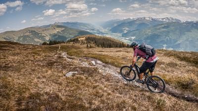
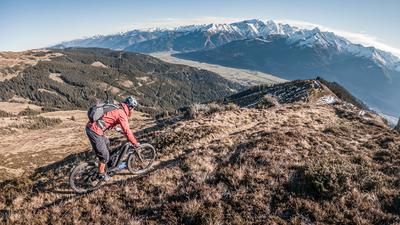
The tour starts in Kaprun and initially rides on asphalt along the foot of the Kitzsteinhorn, past the Unteraigen snack station, before the ascent begins on gravel. The uphill leads steadily upwards and finally ends at the Saulochalm at around 1600 meters above sea level. From here, there are great views to the north.
The first trail section, the Maiskogel Trail, starts at just under 1300 meters above sea level. With pleasant berms and a few small jumps, this section is not particularly difficult (difficulty level S1). After the descent, the uphill mode follows again in the direction of the Bachler Trail, with a short gravel road serving as an intermediate descent. The start of the Bachler Trail is clearly marked. This well-designed nature trail is rated S1 and S2 in terms of difficulty. It ends just above the gorge lake before you leave it behind and return to the starting point.
Alternatively, you can also use the Maiskogel cable car instead of the first ascent, which rides directly to the start of the trail.
Map & GPX-Track
The map is only available to Ride subscribers.
The Ride-Subscription is available at ride-mtb.com/abo
.
Details of the tour
24 km
1120 m
1120 m
771 above sea level
1556 above sea level
1 day
Kaprun
Kaprun
3167
well suited
More information
More tours nearby




User comments (2)

About the author: Martin Depauli
Note: This content has been automatically translated from German. Please report any incorrect translations.
The Bachler Trail is unfortunately still closed due to mudslides (as of 17.7.25)
Attention: The Bachler Trail is currently closed due to mudslide! (as of 17.8.24).
Easy and flowing loop for in between.
I wonder what the trail builders of the Maiskogeltrail were thinking when they threw so much gravel and grit onto the trail? Due to the lack of grip, the flow of this very easy trail is lost.