

Wildkogel Südabfahrt

Description
The start is in Bramberg am Wildkogel, a well-known winter sports resort. The route first rides on asphalt through the village, then steadily uphill on a long but evenly ascending gravel road with a moderate to medium gradient. Passing idyllic alpine meadows, you quickly gain altitude, while the views of the Salzach Valley and the surrounding peaks get better and better. The Wildkogelbahn cable car from Neukirchen am Großvenediger can also be used as an optional ascent aid - ideal for those who want to save energy for the trail (note operating times and bike transport).
The rideable section ends at the Wildkogel Alm. The last 150 meters in altitude to the summit are overcome by pushing or carrying. Once at the top, the striking metal summit cross and an incredible panorama await: the glaciated Hohe Tauern with the Großvenediger and Großglockner to the south, the Kitzsteinhorn to the east and the gentle grassy mountains of the Kitzbühel Alps to the north.
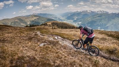
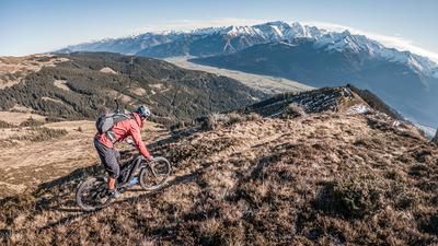
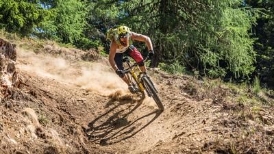
The descent begins directly at the summit and leads south along a panoramic ridge path over the Filzenhöhe. The trail runs at S2 level, occasionally also S3, but is largely easy to ride - with some technical passages that require surefootedness and line choice. The ridge crossing rewards you with magnificent views and alpine flair. At the saddle near the Filzenhöhe, turn right onto a somewhat flatter climb, which begins with a short counter-climb. This is followed by a flowing trail section (S1-S2) that winds its way through alpine meadows and woodland to the alpine huts. Unfortunately, this is followed by a short gravel downhill on a farm track, which soon turns into another trail section. Another real trail gem in the S1-S2 range awaits here, which winds playfully and with plenty of flow through the mountain forest - an ideal end to the descent! In Weyer, you reach the valley floor and follow the asphalt path back to Bramberg, where the loop comes to an end. If you want, you can make a short café stop here in the old town.
Note: The route is located on Austrian territory and leads over routes that are not approved for mountain bikers. Riding this route on a mountain bike is the responsibility of each individual, in full awareness of the legal situation.
Map & GPX-Track
The map is only available to Ride subscribers.
The Ride-Subscription is available at ride-mtb.com/abo
.
Details of the tour
24 km
1360 m
1360 m
814 above sea level
2171 above sea level
1 day
Bramberg am Wildkogel
Bramberg am Wildkogel
3593
limited
More information
More tours nearby






User comments (0)

About the author: Martin Depauli
Note: This content has been automatically translated from German. Please report any incorrect translations.