

Pinzgauer Spaziergang – Vitalisweg

Description
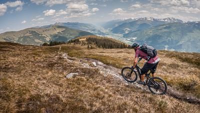
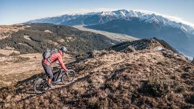
The tour starts in Piesendorf. On the official Hochsonnbergbahn-Pinzgauerhütte cycle route, it feels like half an eternity on asphalt, gravel and a forest road to the so-called Kettingtörl. You can already get an idea of the panorama that awaits you at the top. Then you take the ski slope to the Kettingkopf and then the so-called Pinzgauer Spaziergang begins: a trail between Niedernsill and Zell am See, as well as Saalbach and Viehhofen. This section of the route is particularly fabulous in the fall. The trail is somewhat challenging in parts and is only rated S1 on the descent, but S2 on the ascent sections at S3.
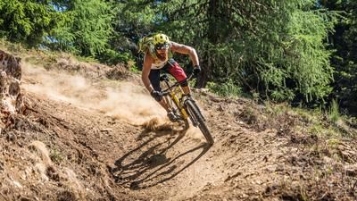
Below the Hochsonnberg, the descent to the Vitalisweg begins. Between difficulty levels S1 and S2, you descend the entire ridge, repeatedly crossing the forest road. In the middle section, there are also some hairpin bends that make the trail more inviting. Shortly above the hamlets and farms, you join the asphalt road, roll down it a few meters and then come to the trail cut-offs that finally lead to Niedernsill. From Niedernsill, you then follow the cycle route along the Salzach back to Piesendorf on asphalt.
Note: The route is located on Austrian territory and leads over routes that are not approved for mountain bikers. Riding this route on a mountain bike is the responsibility of each individual, in full awareness of the legal situation.
Map & GPX-Track
The map is only available to Ride subscribers.
The Ride-Subscription is available at ride-mtb.com/abo
.
Details of the tour
33 km
1320 m
1320 m
761 above sea level
1984 above sea level
1 day
Piesendorf
Piesendorf
3118
limited
More information
More tours nearby






User comments (0)

About the author: Martin Depauli
Note: This content has been automatically translated from German. Please report any incorrect translations.