

Klinglertörl – Panorama-Trail

Description
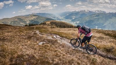
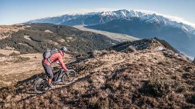
You start in Piesendorf. From here, the official Hochsonnbergalm-Pinzgauer Hütte cycle route climbs steadily uphill, initially on asphalt and later on gravel. There is a long uphill ahead of you, but the magnificent panorama of the main Alpine ridge makes up for it, especially in the upper section. Towards the Kettingkopf, along the lift route, you then follow a kilometer-long panoramic single trail with difficulty levels S1 to S2 along the mountain ridge. At an altitude of between 1900 and almost 2000 meters above sea level, there are countless places that will make bikers' hearts beat faster. The route runs all the way to Klinglertörl.
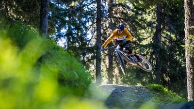
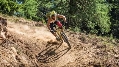
This is where the actual descent begins. A mix of difficulty S1 and S2 in the upper section, in the natural area around Hinterglemm and later leads into the so-called Hacklberg Trail. This trail is not really difficult to ride, but is partly covered with braking grooves and is also very artificial in the upper area. This seemingly endless trail descent takes you all the way to Hinterglemm. In Hinterglemm, you then use the official cycle route, which takes you steadily downhill through the valley eastwards to Maishofen. From Maishofen, you then take the official cycle path along the western shore of Lake Zell past Schüttdorf and then back to Piesendorf.
The tour can be shortened considerably by using the Schmittenhöhe cable car.
Note: The route is located on Austrian territory and leads over routes that are not approved for mountain bikers. Riding this route on a mountain bike is the responsibility of each individual, in full awareness of the legal situation.
Map & GPX-Track
The map is only available to Ride subscribers.
The Ride-Subscription is available at ride-mtb.com/abo
.
Details of the tour
64 km
1420 m
1420 m
752 above sea level
2038 above sea level
1 day
Piesendorf
Piesendorf
3060
well suited
More information
More tours nearby








User comments (1)

About the author: Thomas Giger
Note: This content has been automatically translated from German. Please report any incorrect translations.
Relaxed ascent, magnificent mountain views, very long trails - perfect up to this point.
The return journey along the Saalach is also very scenic, albeit on asphalt. The rest of the cycle route to Zell is a bit boring, but there is no other way.
All in all, definitely a top tour!