

Wetterfahne

Description
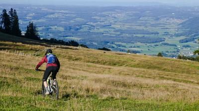
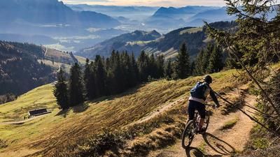
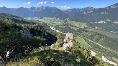
The tour starts in Kössen/Staffen, from where you ride steadily uphill on the forest road to the Naringalm. On serpentines with varying gradients, you reach an altitude of almost 1100 meters above sea level. From the Naringalm, the bike is pushed or carried across below the summit of the Wetterfahne to the highest point of the route. From the Naringalm, there are already magnificent views, which are particularly breathtaking in the summit area considering the relatively low altitude.
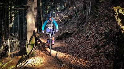
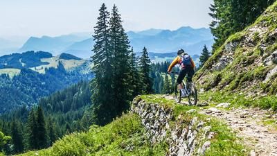
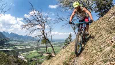
The trail descent is also a highlight: from the summit, it rides mostly on gravel, with only a few root passages, at a level between S2 and S3 steadily down to the Haringalm. Two sections are particularly challenging, but can be bypassed. The section in the hairpin bends above the Haringalm, interspersed with alpine roses, is particularly idyllic. At the Haringalm, the trail joins a cart track that widens into a forest path before turning left onto the final trail section back to Kössen/Staffen. This last section is classified as difficulty levels S2 and S3 and should be avoided in wet conditions, as it can be very challenging in combination with roots, steep sections and wet ground.
Back in Staffen/Kössen, the tour comes to an end. A special refreshment tip on this tour is the Naringalm, which is perfect for a break and refreshments.
Note: The route is located on Austrian territory and leads over routes that are not approved for mountain bikers. Riding this route on a mountain bike is the responsibility of each individual, in full awareness of the legal situation.
Map & GPX-Track
The map is only available to Ride subscribers.
The Ride-Subscription is available at ride-mtb.com/abo
.
Details of the tour
10 km
645 m
645 m
583 above sea level
1235 above sea level
1 day
Kössen
Kössen
3215
not suitable
More information
More tours nearby






User comments (0)

About the author: Martin Depauli
Note: This content has been automatically translated from German. Please report any incorrect translations.