

Kranzhorn

Description
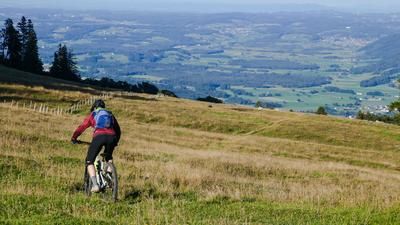
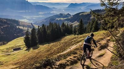
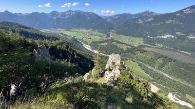
You start in Erl. From here you pedal on asphalt and then on gravel in serpentines along the official cycle route via the Spadau-Polzalm to the Kranzhorn refuge. At the Kranzhorn refuge, the uphill on gravel ends and the bike has to be pushed or carried to the summit. The ascent is relatively simple and leads via a hiking trail directly to the somewhat bizarre summit, which is equipped with two crosses. The view is legendary. The Inn Valley lies at your feet, to the north the view to Germany and to the south the view to Austria and the Kaiser Mountains is unique.
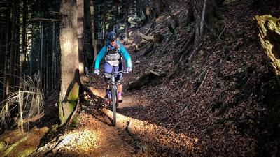
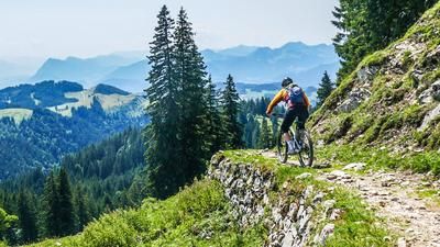
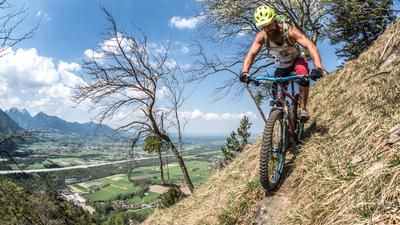
So is the downhill trail. In the upper section, this can be classified as difficulty S2 to S3 and only decreases slightly at an altitude of around 1100 meters above sea level. It becomes a little easier in the lower section at Kranzwald and finally leads back to the starting point via the Kalvarienberg with a flow trail. The Kranzhorn is a very popular hiking mountain. We recommend doing the tour outside the season when the hut is closed and in dry conditions, as the number of hikers can be relatively high.
Note: The route is located on Austrian territory and leads over routes that are not approved for mountain bikers. Riding this route on a mountain bike is the responsibility of each individual, in full awareness of the legal situation.
Map & GPX-Track
The map is only available to Ride subscribers.
The Ride-Subscription is available at ride-mtb.com/abo
.
Details of the tour
13 km
840 m
840 m
477 above sea level
1321 above sea level
1 day
Erl
Erl
2744
not suitable
More information
More tours nearby






User comments (0)

About the author: Martin Depauli
Note: This content has been automatically translated from German. Please report any incorrect translations.