

Karspitz-Trails

Description
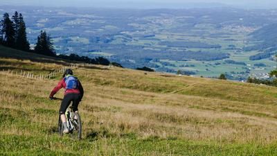
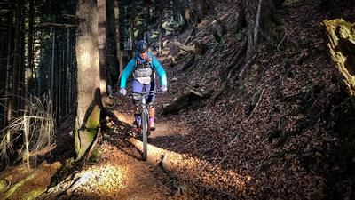
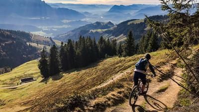
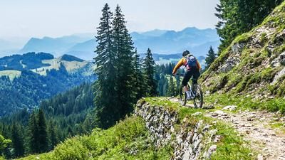
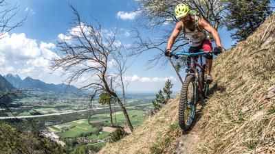
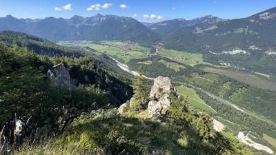
From Rettenschöss (680 meters above sea level), the route leads up to the hamlet of Feistenau (1000 meters above sea level) on a continuously asphalted road. Continue along the toll road that rides to the Wandberghaus until you reach the Rettenbachalm (1200 meters above sea level) on the left. From here, cross a flat alpine meadow and take a forest path to the west. Follow this until just below the Karspitze (1239 meters above sea level). In a few meters you reach the summit with its cross and chapel. Return and continue south on the forest road until it ends at the Karalm and turns into a mostly flat, easy hiking trail to the Staudinger Kreuz (1212 meters above sea level). Another panoramic summit on this tour. This is where the first part of the trail descent to Sachrang begins. You reach the connecting trail from Feistenau to Wildbichl Alm via easy, flowing alpine meadows. Follow this to the right. Once you reach the Wildbichl Alm (1028 meters above sea level), it is definitely worth stopping for a bite to eat if you can get one of the coveted terrace seats. Shortly after the Wildbichlalm, trail number two branches off to the left. Across meadows and somewhat steeply into the forest. After beautiful root passages, shortly before a somewhat tricky rocky passage with a risk of falling, there is an inconspicuous left fork that solves the problem and soon leads down to Sachrang in the south (738 m). The route continues well signposted back to Tirol and soon on an asphalt road back to Rettenschöss.
Note: The route is located on Austrian territory and leads over routes that are not approved for mountain bikers. Riding this route on a mountain bike is the responsibility of each individual, in full awareness of the legal situation.
Map & GPX-Track
The map is only available to Ride subscribers.
The Ride-Subscription is available at ride-mtb.com/abo
.
Details of the tour
15 km
640 m
640 m
680 above sea level
1240 above sea level
Rettenschöss
Rettenschöss
3270
well suited
More information
More tours nearby






User comments (0)
Note: This content has been automatically translated from German. Please report any incorrect translations.