

Klausenberg-Kamm

Description
The tour starts in Hohenaschau and initially follows the Priental cycle path to the large hiking parking lot in Hainbach. Here the hiking trail branches off up to the Klausenberg. Mountain bikers, however, stay on the cycle path along the main road for a good kilometer and then turn right into the forest onto a forest road. This leads up a pleasant incline to just below the Angereralm (1196 meters above sea level) and then follow the signs to the left towards Klausenberg. The alpine path soon turns into a path. Shoulder your bike and head up to the ruined Klausenberghütte (1504 meters above sea level), an ingeniously beautiful place that is definitely worth a break. After another ten minutes of carrying, you reach the small summit of the Klausenberg.
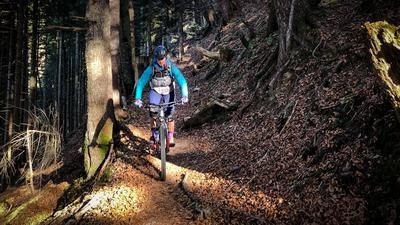
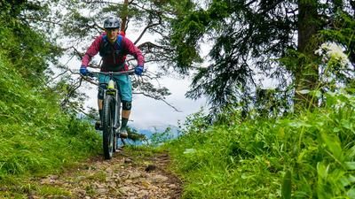
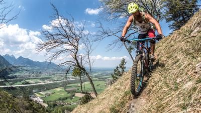
Now it's time to put on your protectors and helmet and get on your bike. The trail always follows the mountain ridge between Klausenberg in the south and Laubensteinalm (approx. 1300 meters above sea level) in the north. In a constant up and down, the Predigtstuhl (1494 meters above sea level) is first crossed, followed by a panoramic parade trail down to the alpine pasture. Along the way, the mountain forest repeatedly reveals views of Lake Chiemsee. From the Laubensteinalm, the route first follows a road into a saddle, then continues to the right, downhill in a northerly direction until a short ascent leads to a wide forest path at 1100 meters above sea level. Follow the forest path uphill again (almost 300 meters above sea level) past the Riesenhütte (1346 meters above sea level) to the Riesenalm (1340 meters above sea level). After the alpine pastures, the trail branches off: left up to Hochries (1568 meters above sea level), right down into the valley. There is also a sign here warning you to push your bike. The trail winds its way over steps and roots and under the Hochriesbahn cable car past the Ebersbergalm (1157 meters above sea level) and Käseralm (900 meters above sea level) to the valley station of the cable car. This is where the grand finale of the tour through the Samerberg Bike Park down to the Samerberg district of Grainbach begins. The bike park can only be accessed with a valid ticket - just let the bottom know that you have used the trails once, put a few euros in the coffee box and everyone is happy. From Grainbach, you essentially follow a narrow asphalt road to Frasdorf and on to the starting point.
Map & GPX-Track
The map is only available to Ride subscribers.
The Ride-Subscription is available at ride-mtb.com/abo
.
Details of the tour
37 km
1300 m
1300 m
590 above sea level
1548 above sea level
1 day
Aschau im Chiemgau
Aschau im Chiemgau
2416
not suitable
More information
More tours nearby





User comments (0)
Note: This content has been automatically translated from German. Please report any incorrect translations.