

Rottauer Hometrails

Description
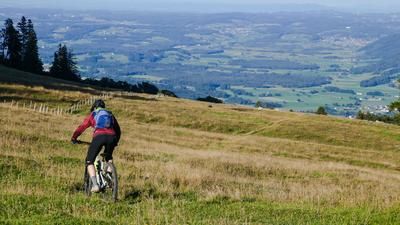
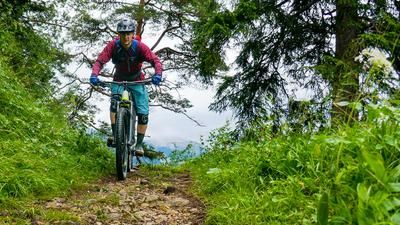
From Rottau (538 meters above sea level), the route initially leads over asphalt, soon over gravel to the Vordere Rottauer Almen (823 meters above sea level). Here you turn right across the stream and reach the saddle (932 meters above sea level) between Schwarzenberg and Reifenberg via a steep forest road. Now head north for a good 100 meters in the direction of Lindlalm until trail number 1 begins inconspicuously on the right across an alpine meadow. Initially flowing across the meadow into a section of forest with nice root passages, maneuver the bike through a turnstile in the pasture fence and down onto a forest road. Follow this to the left, past a fish pond, to the Berggasthof Adersberg (815 meters above sea level). Now descend around 300 meters along the asphalt mountain road until a hiking trail branches off to the left, parallel to the road. Take this wonderfully flowing trail back down into the valley to the outskirts of Rottau.
Continue uphill again to trail number 2, initially following the forest road in the direction of Hefteralm. From point 652 meters above sea level, however, you stay on the unmarked gravel road and do not turn left to the alpine pasture. At just under 800 meters above sea level, the road ends in the forest. Here, in a 180-degree bend, you turn into the mule track - trail number 2 - which is again not signposted and initially somewhat overgrown. Initially without losing much altitude (this section is particularly fun on an e-bike), the trail runs parallel to the slope downhill until it crosses the hiking trail to the Hefteralm again. From here, the mule track picks up speed rapidly: In several tight hairpin bends (offset the rear wheel or push briefly), the trail descends to the Gießenbach stream and further down to the main road between Rottau and Grassau. Finally, take the cycle path alongside the road back to Rottau, the starting point of the tour.
Map & GPX-Track
The map is only available to Ride subscribers.
The Ride-Subscription is available at ride-mtb.com/abo
.
Details of the tour
16 km
635 m
635 m
537 above sea level
937 above sea level
1 day
Rottau
Rottau
2546
well suited
More information
More tours nearby




User comments (0)
Note: This content has been automatically translated from German. Please report any incorrect translations.