

Coburger Hütte - Brendlkar
Description
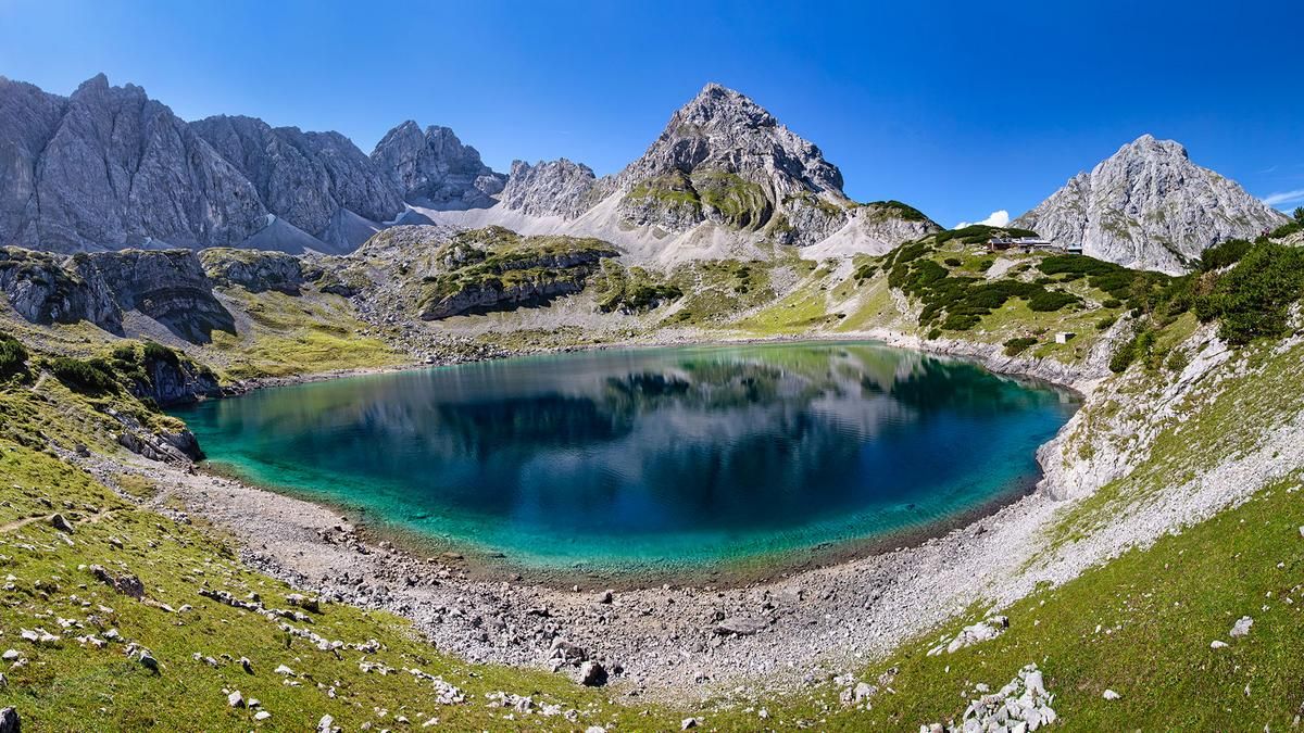
From the Ehrwalder Almbahn parking lot, a moderately steep tarred road winds its way up to the Ehrwalder Alm ski area. Below the Zugspitze massif, you follow a gravel road in the direction of Seebensee. From the Seebenalm, the road becomes somewhat steeper and rougher. The Seebensee is a natural jewel in its own right and invites you to take a refreshing dip. Follow the road along the edge of the lake until you reach a material cable car. From here, you have to push and carry for almost 300 meters. The picturesquely situated Coburger Hütte invites you to take a break before continuing past the Drachensee lake for another 300 meters in altitude to the Tajatörl. The trail now becomes steeper and gravelier and aims for the saddle between Tajakopf and Griesspitzen.
Once you have reached Tajatörl, the gravel descent through the Brendlkar begins. Now you work your way through scenery reminiscent of a lunar landscape. Initially, the narrow path crosses the wide gravel cirque and then drops down to the valley floor, where the trail becomes flatter and flatter in S2 to S3 style over the sometimes more and sometimes less blocked trail to the small Brendlsee lake. Behind the lake, the descent becomes steeper again, and every now and then you have to carry over a few boulders that block the way. The key section is a steep gravel slope that poses a challenge for technical riders. A final hairpin bend and blocked sections await until the trail meets the access road. If you want, you can turn left into the Koatiger climb on the descent and tackle a few extra meters of blocked trail. On the descent from the Ehrwalder Alm, turn right and follow the forest road to the Wiessteig. The beautiful, narrow forest path leads us down to the parking lot in a fairly flowing manner with a few hairpin bends.
Note: The route is located on Austrian territory and leads over routes that are not approved for mountain bikers. Riding this route on a mountain bike is the responsibility of each individual, in full awareness of the legal situation.
Map & GPX-Track
The map is only available to Ride subscribers.
The Ride-Subscription is available at ride-mtb.com/abo
.
Details of the tour
23 km
1280 m
1280 m
1085 above sea level
2269 above sea level
1 day
Ehrwald
Ehrwald
2424
not suitable
More information
More tours nearby


User comments (0)
Note: This content has been automatically translated from German. Please report any incorrect translations.