

Nassereither Alm Südabfahrt

Description
You start in the idyllic village of Nassereith. On asphalt and then on gravel, you follow the cycle path past the picturesque Fernsteinsee lake with its historic buildings and then enter the somewhat more challenging uphill section towards the Fernpass. An alternative to this ascent would be the Fernpass road, but this is not very attractive for mountain bikers.
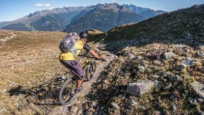
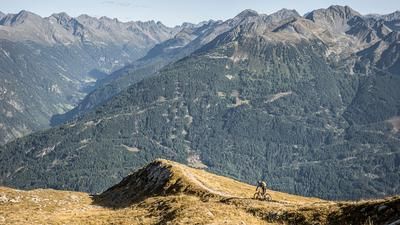
The route continues along the classic forest road through wooded areas up to the Nassereither Alm and finally to the fork in the road to the Wannig summit. This is essentially where the descent begins. The trail runs over gravelly and gravely ground, mostly through forest, and is classified as difficulty S3 overall. Some sections can be ridden more smoothly, but the technical difficulty mentioned should be mastered in order to fully enjoy the descent.
At an altitude of around 1050 meters above sea level, the trail leads to a cross-path from which you can return to Nassereith via the Kreuzweg. For the ascent, a stop at the Nassereither Alm is a good idea.
Note: The route is located on Austrian territory and leads over routes that are not approved for mountain bikers. Riding this route on a mountain bike is the responsibility of each individual, in full awareness of the legal situation.
Map & GPX-Track
The map is only available to Ride subscribers.
The Ride-Subscription is available at ride-mtb.com/abo
.
Details of the tour
25 km
1015 m
1015 m
835 above sea level
1777 above sea level
1 day
Nassereith
Nassereith
3595
well suited
More information
More tours nearby


User comments (0)

About the author: Thomas Giger
Note: This content has been automatically translated from German. Please report any incorrect translations.