

Loreascharte

Description
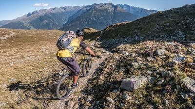
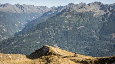
From the Fernsteinsee campsite, follow the cart path to the right towards Tegestal until you reach the forest road at the start of the valley and follow it uphill to the right. Now there are 400 steep but rideable meters of altitude on the program up into the Tegestal. When the road flattens out, the inconspicuous, easy-to-miss path branches off into the Haimbach Valley at an altitude of just under 1,400 meters. From then on, the bike has to be carried or pushed for the remaining 900 meters in altitude. The beautiful Haimbach valley and the varied path make up for the exertions. After around 600 meters in altitude, you reach a flat grassy saddle (Am Kragen or Loreajoch) and take the path on the right up to the Loreascharte. If you wish, you can climb another 160 meters further for a summit experience on the Loreakopf, but it is not worthwhile by bike. The descent begins steep and slippery, most people will probably have to push for the first few meters, until the trail winds down at S2 level in gravel bends and finally flows to the Loreahütte. This is followed by 1,000 Elevation loss long trail fireworks, which offer a fun mix of S1-S3 passages with coniferous ground, roots and rocky passages, all of which are doable. At the end, the trail spits us out again right at our parking lot.
Note: The route is located on Austrian territory and leads over routes that are not approved for mountain bikers. Riding this route on a mountain bike is the responsibility of each individual, in full awareness of the legal situation.
Map & GPX-Track
The map is only available to Ride subscribers.
The Ride-Subscription is available at ride-mtb.com/abo
.
Details of the tour
15 km
1375 m
1375 m
914 above sea level
2314 above sea level
1 day
Nassereith
Nassereith
2419
More information
More tours nearby


User comments (0)
Note: This content has been automatically translated from German. Please report any incorrect translations.