

Kreuzjoch - Ost
Description
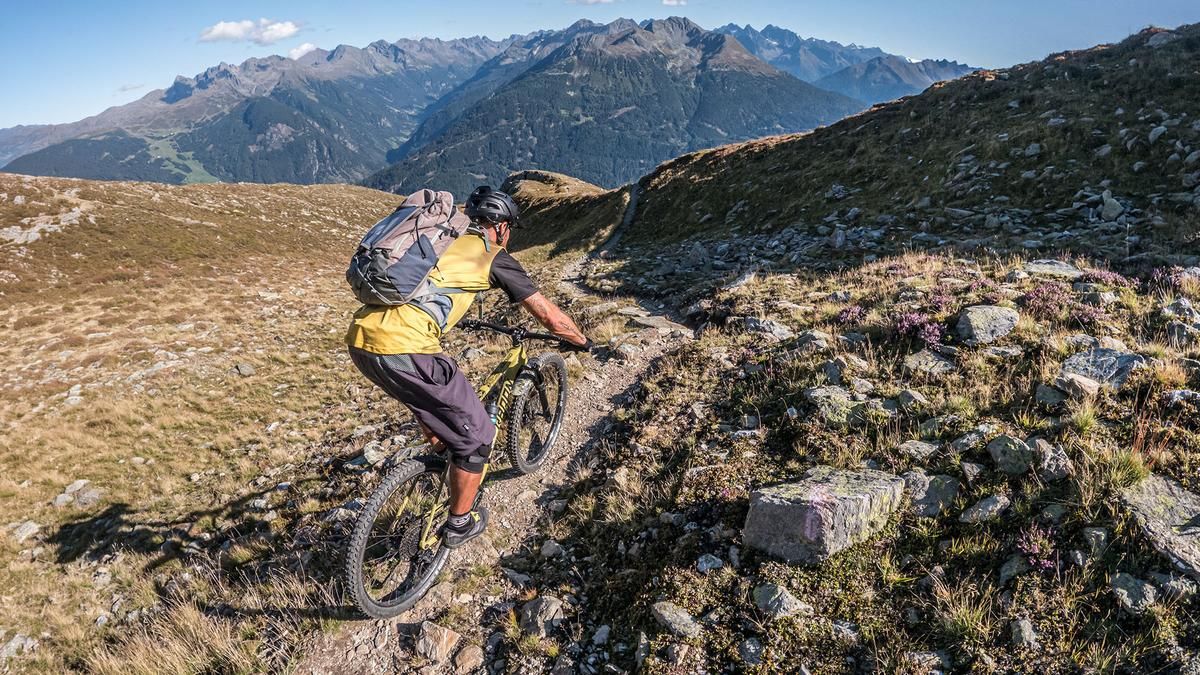
The tour starts in Wenns. From here, the route climbs steadily uphill on asphalt—with some very steep sections—before switching to gravel, and you continue at this pace toward Larcher Alm. Below the Larcher Alm, panoramic views of the Inn Valley, the Tschirgant, and the Oberland, Pfunds, and Serfaus begin to open up. At the Larcher Alm, where you can stop for a break, there are a few more fairly steep sections before you reach the trail junction leading toward the Kreuzjoch. At an elevation of 1,950 meters above sea level, you’ll have to carry your mountain bike on your shoulder; from there, the trail continues on foot for another 500 meters of elevation gain to the Kreuzjoch. The Kreuzjoch offers an impressive panoramic view and is marked by a large wooden cross. The view extends across the Inn Valley, the Hohe Munde, the Tschirgant, the striking 3,000-meter peaks in the Pitztal and Ötztal valleys, and into the Tyrolean Oberland. Please note that this tour is part of the E5 long-distance hiking trail. The ascent and descent should therefore be planned outside of weekends and the holiday season whenever possible.
The first section of the trail begins at Kreuzjoch heading toward Larcher Alm. You’ll wind your way downhill on sections rated S3, S3+, and S2; kick turns with shifting are a must here. The next section of the trail begins at the Larcher Alm. Here, the route descends steadily in sections at S2 and S2+ difficulty levels, alternating between single-track sections and paved cart paths, past the small hamlet of Winkl, with fairly smooth passages and a trail finale back to Wenns.
Note: The route is located on Austrian territory and leads over routes that are not approved for mountain bikers. Riding this route on a mountain bike is the responsibility of each individual, in full awareness of the legal situation.
Map & GPX-Track
The map is only available to Ride subscribers.
The Ride-Subscription is available at ride-mtb.com/abo
.
Details of the tour
15 km
1390 m
1380 m
1010 above sea level
2379 above sea level
1 day
Wenns
Wenns
3820
not suitable
More information
More tours nearby


User comments (0)

About the author: Martin Depauli
Note: This content has been automatically translated from German. Please report any incorrect translations.