

Imsterberger Kreuz
Description
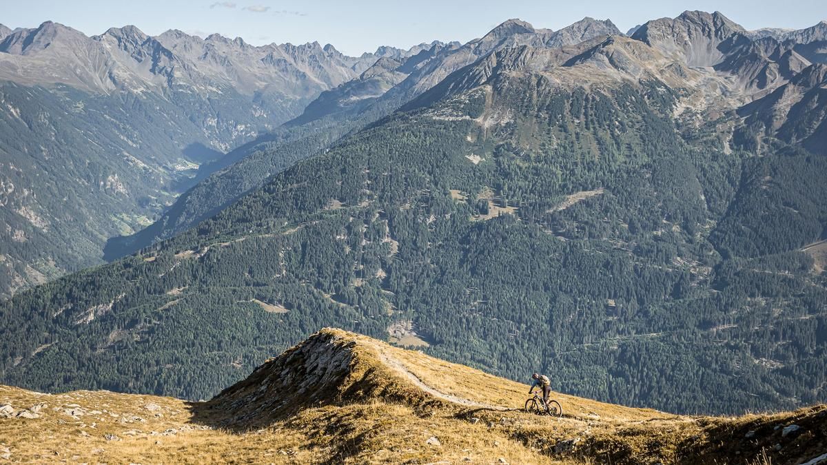
The tour starts in Arzl in the Pitztal Valley. From there, the route begins with a short stretch on the main road (paved), then continues on a side road or a cart path away from the main traffic toward Wenns. In Wenns, the surface alternates between gravel and asphalt; with moderate to steep gradients, the route climbs steadily toward Larcher Alm. After passing the hamlet of Farmie, the uphill section on gravel becomes quite challenging in places. You then cross the forest road toward Venetboden and ride above the tree line, enjoying inviting panoramic views of the Tyrolean Oberland, Imst, Nassereith, the Wetterstein Mountains, as well as the Pitztal and Ötztal valleys. You’ll continue pedaling steadily uphill on the cart path for a few more meters before pushing or carrying your mountain bike to the Imsterberger Kreuz. The summit itself offers excellent views, as it is sparsely forested, with the Tschirgant standing out in particular.
The descent from the summit is quite challenging, with a few tricky sections rated S3, before becoming somewhat smoother. It heads toward Venetalm on the forest road—a great spot to stop for a break—and continues along the ridge, alternating between S2 and S3 difficulty levels, toward Arzl. The final meters of elevation gain to Arzl are very smooth to ride and are rated S1. All in all, a varied tour that’s particularly ideal during the week, as there are few hikers on the trail. The route is located in Austrian territory and passes through areas that are not officially open to mountain bikers. Riding this route on a mountain bike is done with full knowledge of the legal situation and at your own risk.
Note: The route is located on Austrian territory and leads over routes that are not approved for mountain bikers. Riding this route on a mountain bike is the responsibility of each individual, in full awareness of the legal situation.
Map & GPX-Track
The map is only available to Ride subscribers.
The Ride-Subscription is available at ride-mtb.com/abo
.
Details of the tour
23 km
1350 m
1350 m
870 above sea level
2157 above sea level
1 day
Arzl
Arzl
3821
limited
More information
More tours nearby


User comments (0)

About the author: Martin Depauli
Note: This content has been automatically translated from German. Please report any incorrect translations.