

Haiminger Kreuz

Description
The start is in Haiming. With a southern flair, the route leads along the Inn towards Karres, with some sections already running along historic roads, making the approach entertaining. Passing through Karrösten, you then pedal on asphalt with medium and even gradients up to Karröster Alm before turning left onto the forest path towards Tschirgant.
You can ride up to an altitude of around 1650 meters above sea level, after which you carry your mountain bike uphill towards Haiminger Kreuz or Jungbauernkreuz with a rest area. The ridge is reached at around 2200 meters above sea level, where a detour to the Tschirgant summit is an option. However, the descent from the summit is very exposed, mostly only possible by pushing and technically demanding. Alternatively, it is also possible to ascend via the mountain guard hut from the west ridge, but there is a passage secured by ropes in the upper section.
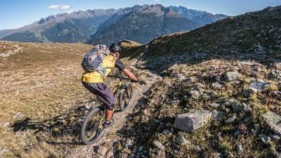
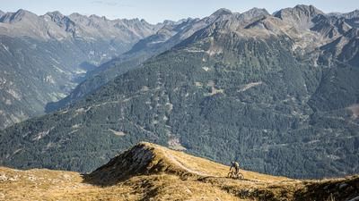
The panoramic views are impressive and show the rugged rock formations typical of the Tyrolean Oberland with striking views of the Ötztal valley, the main Alpine ridge and the northern Limestone Alps. The descent begins smoothly and runs along the ridge with alternating short ascents and descents in the S1 to S2 difficulty range. The trail continues towards the Haiminger Alm, where you briefly come to a gravel road before riding the classic south trail from the Haiminger Alm to the gravel gully. Difficulty level S2 is reached here, although the gravel gully itself can be ridden as an alternative.
After a long, varied and flowing trail descent, you finally return to Haiming and the starting point.
Note: The route is located on Austrian territory and leads over routes that are not approved for mountain bikers. Riding this route on a mountain bike is the responsibility of each individual, in full awareness of the legal situation.
Map & GPX-Track
The map is only available to Ride subscribers.
The Ride-Subscription is available at ride-mtb.com/abo
.
Details of the tour
32 km
1590 m
1590 m
659 above sea level
2175 above sea level
1 day
Haiming
Haiming
6130
not suitable
More tours nearby


User comments (1)

About the author: Martin Depauli
Note: This content has been automatically translated from German. Please report any incorrect translations.
Due to its exposed location, the Tschirgant is one of the best mountains in the Inn Valley for panoramic views, but reaching the summit requires a strenuous hike. From the end of the forest road—which is marked by numerous “No Entry” signs, except for the route to the Karröster Alm—you’ll have to hike about 600 meters of elevation gain to just short of the summit. Due to erosion, the final ascent is recommended only on foot. On the descent, more than 80 percent of the summit ridge is easily rideable for experienced riders, but it has one exposed section where you’ll have to carry your bike and is generally unforgiving. Starting from the rest area, as Martin wrote, it’s definitely a rewarding tour.