

Col de Turini
Description
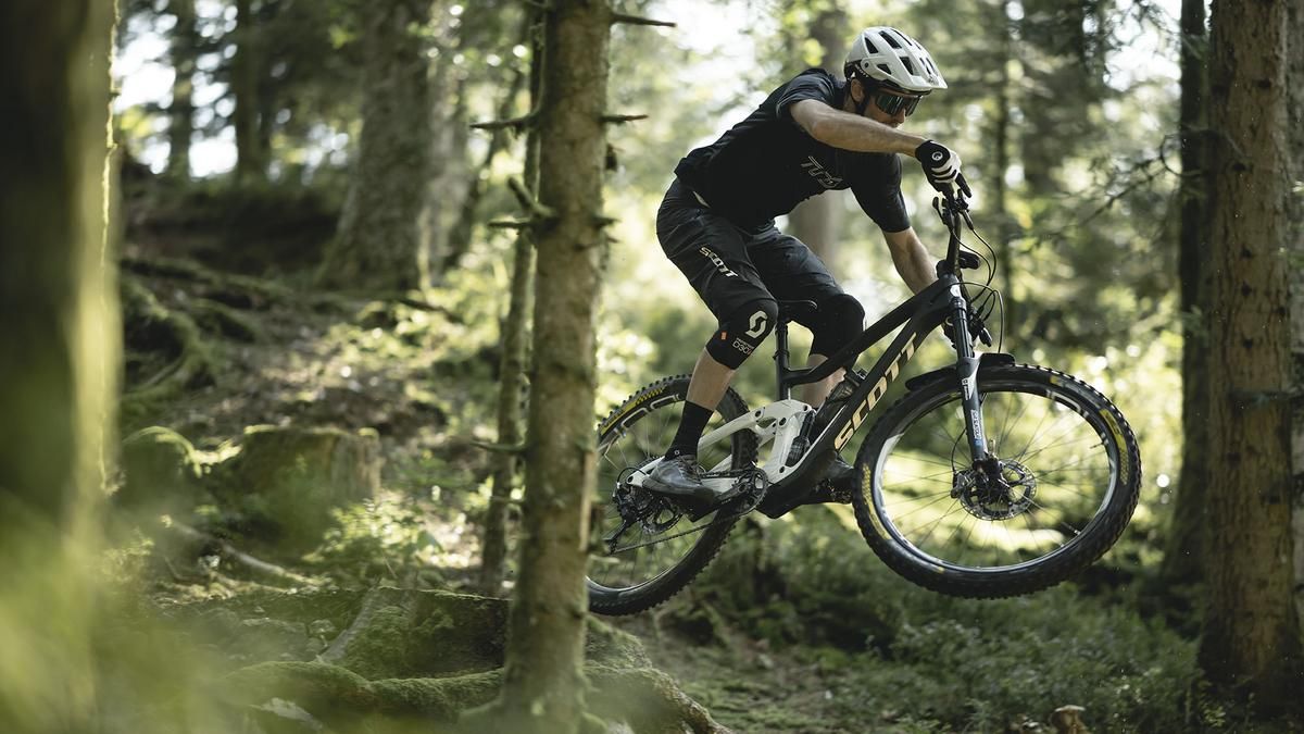
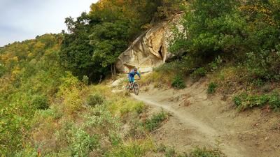
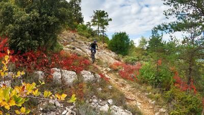
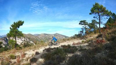
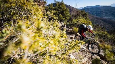
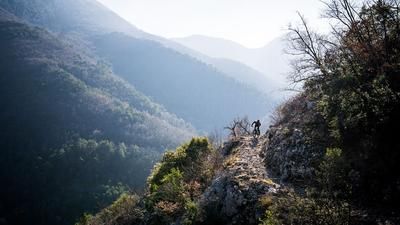
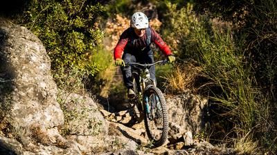
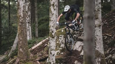
From the town square of Sospel, ride along the D2566 state road towards Moulinet as far as the Col de Turini. Follow in the footsteps of the Monte Carlo Rally up to the Mecca of rallying. The 25-kilometer ascent is an eternity! Good if you have an e-bike. Or not? Will the battery last? In any case, the tour is a challenge. But the beautiful mountain landscape ensures that the ascent is never boring. At the Col di Turini, we turn left uphill on gravel for another 300 meters in altitude. As far as the Cime de L'Escaillou, the descent is brisk on easy forest ground. Countless tight bends, where you don't have to turn, can be ridden quickly. The exertions of the ascent are forgotten and you get that enduro race feeling. The route continues endlessly until you reach an alpine ruin. Here it gets a bit technical. The trail continues in trail style over rocky ledges and hairpin bends. Then comes a fast, long descent down to Moulinet. You think: "Does the trail never end?" You come to a forest road near Moulinet. You should definitely stop off in Moulinet, as you are only halfway down and the toughest sections are still to come. The route now climbs up the forest road again. After a good 1.5 kilometers of ascent, turn right onto a trail towards Pas de la Capelette. Once you reach the pass, it gets a bit more traily again. The ground is loose and the landscape is barren, stony and very lonely. Here the trail continues to the Granges de Cuous, very stony and lots of loose rock. After about 600 meters you leave the trail and turn right. Now it's time for the final challenge, the Candaniel Trail. The Candaniel comes from the other side of the mountain and you enter it about three kilometers before the end. At the beginning it is steep in places, you have to push the bike, then steeply down again. You have to mobilize your last reserves. In terms of riding technique, the highest level is required here. Towards the end, it gets a little easier and you come out on the D2566 road and roll down to Sospel. Conclusion: Great tour! Respect to those who have completed it. Difficulty level S2 to S4.
Map & GPX-Track
The map is only available to Ride subscribers.
The Ride-Subscription is available at ride-mtb.com/abo
.
Details of the tour
48 km
1805 m
1805 m
352 above sea level
1737 above sea level
1 day
Sospel
Sospel
2149
well suited
More information
More tours nearby
User comments (1)
Background to Ride MTB
Ride MTB is dedicated to mountain biking. With the maps Ride Trail Maps and Trail Books and the print magazine Ride, it has played a formative role in alpine mountain biking for many years and has shaped it like few other organizations.
In addition to the publishing business, the company is now also active in product management and operating entire mountain bike projects. These include the tourism project Ride Travel and the development of modern and authentic mountain bike offers such as the Bahnentour in Davos Klosters, Engadin St. Moritz, Lenzerheide or Aletsch, as well as the creation of multi-day tours such as the Postauto-Tour or the Hüttentour.
Ride MTB GmbH was founded in 2001 (formerly Swiss Sports Publishing GmbH) and has been owned and managed by Thomas Giger since then.
Publishing and editorial address
Ride MTB GmbH
Falladagasse 11
CH-7212 Seewis
+41 81 413 43 43
info@ride-mtb.com
Subscription management
Advertisements
Administration
Bank details: Graubündner Kantonalbank.
CHF account. IBAN: CH86 0077 4010 2958 8310 1, BIC: GRKBCH2270A
EUR account. IBAN: CH32 0077 4010 2958 8310 3, BIC: GRKBCH2270A
Company identification number (UID): CHE-102.170.292
The brains behind Ride MTB








Note: This content has been automatically translated from German. Please report any incorrect translations.
The upper section is a good trail. Well worth the effort. From Granges de Cuous on, it gets very grueling. On the way down to the stream, I more or less walked my bike the whole way to keep the flow going. My calves were completely scratched up from blackberries. On the way up to and along the Candiel Trail, you can ride a lot on an e-bike. But on a regular bike? I’m not so sure. The trail is narrow, and there’s no room for riding mistakes. It’s a shame, because the upper section up to Moulinet is rewarding and a pleasure to ride. But the lower section is more for adventurers. Somehow, there should be another way out there.