

Grödner Joch

Description
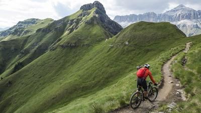
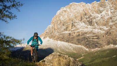
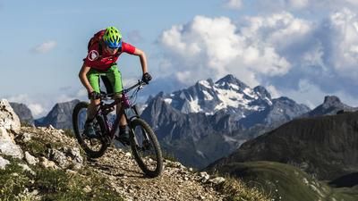
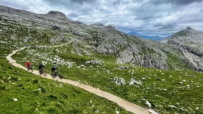
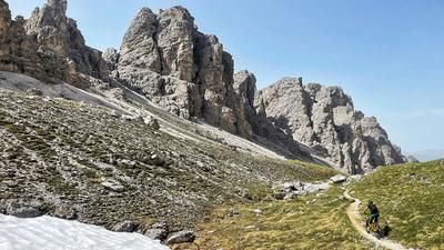
Flower meadows, impregnable rock bastions & alpenglow: the Dolomites are a natural work of art that is best experienced by bike. The ravages of time have taken their toll near the Gardena Pass, with millions of years of erosion leaving behind bizarre shapes. But just like everywhere else in the jagged mountains, in Val Gardena it's not just the views that make you pale, but also the steep climbs. But don't worry: almost every lift takes bikers and bikes in summer.
If you really want to earn your downhill fun on the fun flow trails, don't bother with the cable cars and head up to the Gardena Pass from the farthest end of the Val Gardena valley. The tour starts in the middle of Selva Gardena (1560 m), at the parking lot at Hotel Nives. On trail no. 12A, the route winds its way through the Dantercepies Valley to the Panoramahütte (2130 m), which is open from the end of June to the end of September. A first espresso on the beautiful sun terrace is almost a must here. On a wide road, you wind your way further and further up to the mountain ridge, behind which the pass summit of the Gardena Pass appears. But you don't go to the top of the pass, but further uphill to the mountain station (2298 m). Two new flow trails start here: the "Cir Trail Tiera" and the "Cir Trail Giara". The first bike park trails were shaped quite improvised by the people of Val Gardena with a shovel and pickaxe, and the Northshore elements were put together with a few boards and nails. However, the two flow trails and the trails in the Ciampinoi bike park halfway to the Sella Pass have now been built professionally and are in excellent shape. Just like the Piz Seteur bike park, where families with children can also let off steam to their heart's content. But back to the Gardena Pass: after the very flowy steep descent to the Gardena Pass (2121 m), take trail no. 654 to the Plan de Gralba plateau (1789 m) and roll flat along the stream back down to Selva Gardena.
PS: If you don't fancy the uphill, you can also take the cable car to the Dantercepies mountain station. This saves you six kilometers of uphill and 750 meters of altitude. The day pass costs 40 euros. It's well worth it if you want to test the flow trails and the Plan de Gralba and Ciampinoi bike parks extensively.
Map & GPX-Track
The map is only available to Ride subscribers.
The Ride-Subscription is available at ride-mtb.com/abo
.
Details of the tour
16 km
800 m
800 m
1544 above sea level
2288 above sea level
1 day
Wolkenstein
Wolkenstein
1934
well suited
More information
No bike shops are registered for this region. Registration as a partner takes place here.
More tours nearby








User comments (1)
Note: This content has been automatically translated from German. Please report any incorrect translations.
Descent: 75% forest road, 20% flow trails, 5% single trail.