

Langkofel-Umrundung (Uhrzeigersinn)

Description
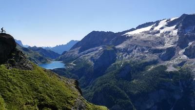
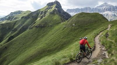
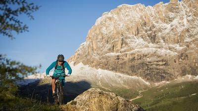
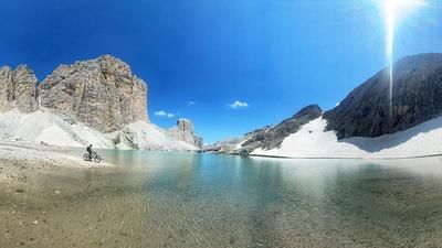
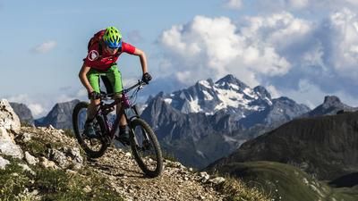
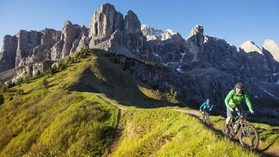
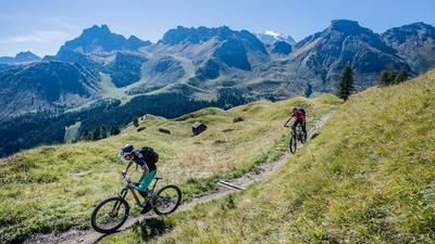
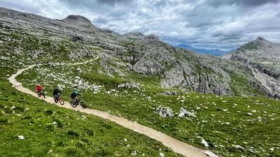
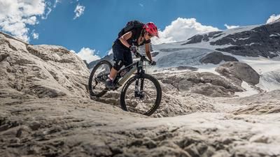
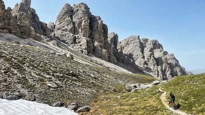
The tour around the Sassolungo gets down to business quickly. From Canazei, you warm up on the cycle path to Campitello, then head into Val Duron. Here you are greeted by an extremely steep concrete ramp, which later turns into a slightly less steep gravel road. In this style, you fight your way up to the Rifugio Micheluzzi, where there is a short gentle phase before the final steep climb up to the Mahlknechtjoch. If you haven't had time to take in the scenery yet, you should do so now at the latest. Because a little later, your attention turns back to the trail that rides along the ridge to the Plattkofelhütte. The same applies here: steep. Especially at the start. The up-and-down trail finally takes you to the mountain inn, an ideal place for refreshments. You'll need it, because there's still quite a ride ahead. You ride downhill a little on the gravel road, but then soon branch off to the right onto the super trail along the rocky flanks of the Plattkofel. Then suddenly: a biting ascent where the bike has to be pushed for a short section. Finally, you reach the hill at the entrance to the rock arena of the Sassolungo, another first-class passage, only to have to push the bike up a few meters again. Finally, you roll down to the top station of the Monte Seura chairlift. The next feat of strength awaits, this time the ascent to the Rifugio Comici. Here too: steep - but in this case rideable on a gravel road. Some trail relaxation is now the order of the day until the Rifugio Passo Sella, where the final section awaits with the ascent to Col Rodella (top station of the gondola lift). If you run out of energy here, take the chairlift to the top after the Rifugio Salei. In addition to the world-class panorama on the hill, this is also the start of the final bouquet of the tour: the single trail down to Canazei. This leads in a technical manner over the ridge, then dives into the forest and becomes a fast and flowy fun ride. This is the way down to the village center of Canazei.
Note: There is a high-level trail from Col Rodella to the Plattkofel hut. This very nice trail to ride would make the route much easier, but is prohibited for bikes. The reason for the ban is the extremely large number of hikers on this route. So many that riding with or without the ban would be unthinkable.
Map & GPX-Track
The map is only available to Ride subscribers.
The Ride-Subscription is available at ride-mtb.com/abo
.
Details of the tour
35 km
1680 m
1680 m
1411 above sea level
2394 above sea level
1 day
Canazei
Canazei
1801
limited
More information
No bike shops are registered for this region. Registration as a partner takes place here.
Video
More tours nearby








User comments (2)

About the author: Thomas Giger
Note: This content has been automatically translated from German. Please report any incorrect translations.
A beautiful tour! The bike ban is after you have pushed your way up the Val Duron. So off to the right and then along the ridge to the Plattkofelhütte, I requested a correction to the bike map. It wasn't that busy today, but certainly no fun in summer. Alternatively, you could ride straight on towards Zollinger Hütte, but you would have to pedal up a few meters in altitude (about 200 and steep again) to get back on the track. I wouldn't miss much in terms of the view. About the tour: Val Duron is as described, but I found it nicely varied. After the Plattkofelhütte, there's a really cool section with an easy trail and great views, until you have to push/carry again. But only intermittently, nothing tragic. The extra loop due to the already known bike ban also has another nice section before it gets nasty steep uphill (yes rideable but mean). And on and on until you finally reach the descent to Canazai. And it's simply mega! As a general rule (as is probably the case with everything in the area): Don't do it in summer! It's simply far too easy for everyone to reach.
Rode the tour in mid-August 2024: Quite recently, bikes were banned on almost the entire south side of the Sassolungo. We rode anyway, but dismounted when we encountered hikers - of which there were unfortunately a lot. There are no-biking signs on all sides.