

Königsstand

Description
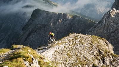
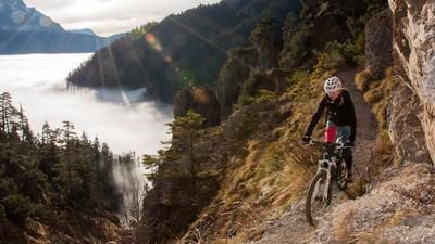
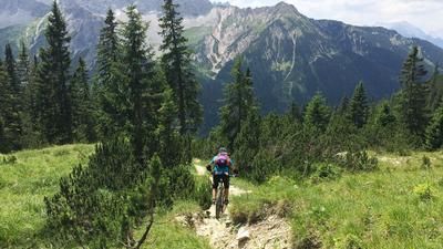
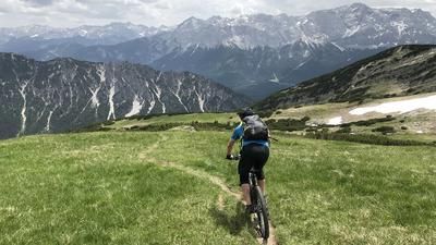
From Garmisch train station, you roll through the town to the Bayernhalle near the cemetery. This is where the road to the St. Martin Hütte begins, which climbs up to the serviced hut in a series of hairpin bends but with a moderate gradient. From there, follow the mostly well-maintained hiking trail in the direction of Kramer and Königsstand. After a few hairpin bends, the path becomes somewhat narrower and a little more exposed for around 300 meters. A short but very exposed wooden staircase (be careful on the descent, a fall here can be fatal!) takes you to the Felsenkanzel - a steel footbridge anchored in the rock face with a dream panorama of the Wetterstein mountains. From here, the trail is a little more rocky, alternating between riding and pushing, until you leave the turn-off towards Kramer on the left at an altitude of around 1400 meters and cross over to Königgstand (1453 meters above sea level) at the same altitude. Return in the S1 to S2 area on the same route as the ascent.
Note: This tour is very popular with hikers at weekends, so ride carefully and avoid peak times.
Map & GPX-Track
The map is only available to Ride subscribers.
The Ride-Subscription is available at ride-mtb.com/abo
.
Details of the tour
15 km
830 m
830 m
692 above sea level
1473 above sea level
1 day
Garmisch-Partenkirchen
Garmisch-Partenkirchen
2548
limited
More information
More tours nearby







User comments (0)
Note: This content has been automatically translated from German. Please report any incorrect translations.