

Friederspitz

Description
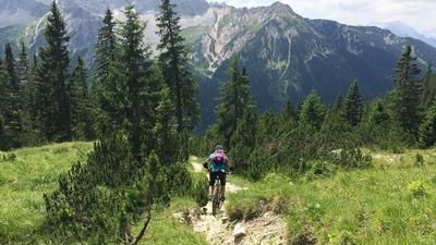
The starting point of the tour is the Ochsenhütte hiking parking lot between Garmisch and Griesen. It fills up quite quickly, especially at weekends, so an early start is recommended. The moderately steep forest road is mostly shady and leads up to the beautiful Rotmoos, which is reminiscent of Canada. The turn-off towards Rotmoosalm is left on the right until shortly afterwards a small sign on the left points towards Friederspitze/Frieder. From here, the remaining 840 vertical meters to the summit have to be pushed and carried. Initially, the trail, which will also be our downhill trail, winds its way up quite easily in steep forest terrain in gentle serpentines. From the Friederalpe, the terrain opens up and the narrow path winds its way through mountain pines to the grassy summit slope of the Friederspitze. From the summit, you have a magnificent view of the Ammergau Alps, Wetterstein mountains, Mieminger Kette and into Tyrol.
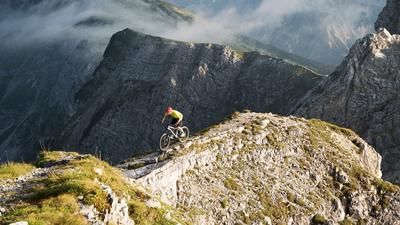
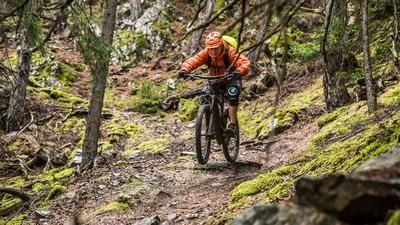
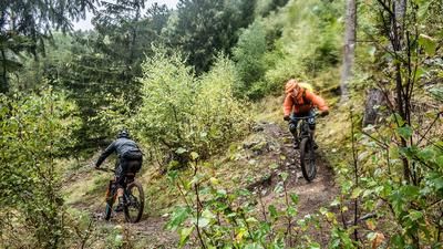
After a rest, you return to the valley via the same route. The trail descends from the summit over stepped meadow terrain before plunging into the steeper mountain pine belt. Here the trail becomes rockier and there are some S3 to S4 sections. The descent is completely rideable for good riders. From the Friederalpe it then becomes quite flowy at S2 level until you reach the forest road at the bottom and roll back towards the parking lot. Shortly before the end, you can take a short, flowing single trail on the left, which ends at the bottom of the parking lot.
Map & GPX-Track
The map is only available to Ride subscribers.
The Ride-Subscription is available at ride-mtb.com/abo
.
Details of the tour
16 km
1190 m
1190 m
798 above sea level
2043 above sea level
1 day
Griesen
Griesen
2417
not suitable
More information
More tours nearby








User comments (0)
Note: This content has been automatically translated from German. Please report any incorrect translations.