

Schöttelkarspitze

Description
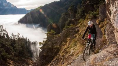
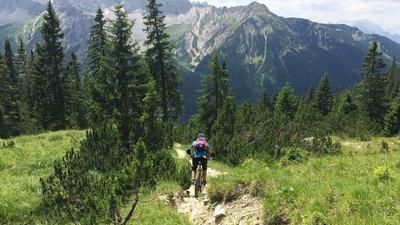
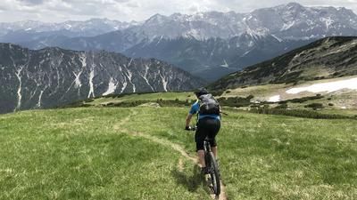
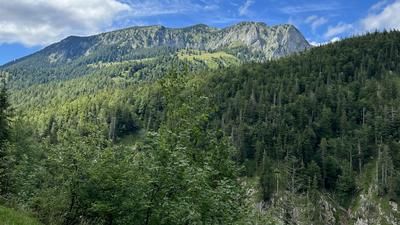
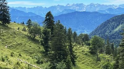
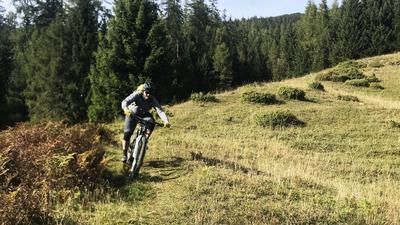
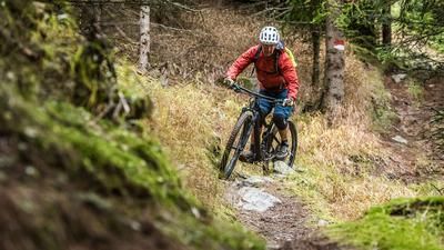
The tour starts at the Krün hiking parking lot and rides up the first 600 meters of altitude on a good gravel road to the Fischbachalm. After a short descent, the road ends at a material cable car and turns into a trail that is still easy to ride at the beginning, but on which the bike soon has to be pushed or carried. Once you have reached the Soiernkessel, leave the direct path to the Soiernhaus and ride along a narrow cart path to the lake and past the mountain guard hut until you reach the Soiernhaus. From here, the path, a former bridle path of King Ludwig II, runs along the slope until it winds its way up to a small saddle below the Schöttelkarspitze. The bike has to be pushed or carried most of the way. From the saddle, the trail becomes steep and blocked for the last 80 meters in altitude. If you are not an expert rider, you can leave your bike here and tackle the last section on foot. The descent follows the same route as the ascent.
Note: The Lakaiensteig trail between Fischbachalm and Soiernhaus, which is secured by ropes in places, is not recommended for mountain bikers. The Schöttelkarspitze is a popular tour for hikers and should therefore be avoided at weekends.Map & GPX-Track
The map is only available to Ride subscribers.
The Ride-Subscription is available at ride-mtb.com/abo
.
Details of the tour
27 km
1470 m
1470 m
860 above sea level
2045 above sea level
1 day
Krün
Krün
2494
not suitable
More information
More tours nearby













User comments (0)
Note: This content has been automatically translated from German. Please report any incorrect translations.