

Rißsattel – Spitzkehren-Trail Vorderriß

Description
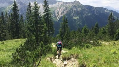
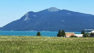
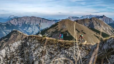
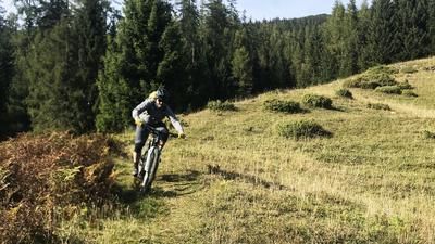
You start in Vorderriß an der Isar. At the beginning, you roll relaxed on asphalt along the toll road along the Isar for a few kilometers before turning right onto a relatively selective uphill and pedaling towards Galgenwurfköpfl and through lush beech forests on the ridge towards Rißer Hochkopf. You even have a brief view of Lake Walchensee before heading towards the Rißsattel. At the highest point of the tour, the Rißsattel at almost 1200 meters above sea level, you have a magnificent view and glimpses of the trail descent.
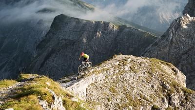
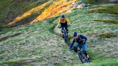
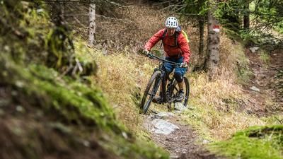
A breathtaking hairpin bend trail with difficulty levels S2 to S3 runs all the way to Vorderriß. At towel width and peppered with countless hairpin bends, you can improve your biking skills and have a magnificent view of the Rißbach and the Karwendel at the back.
Map & GPX-Track
The map is only available to Ride subscribers.
The Ride-Subscription is available at ride-mtb.com/abo
.
Details of the tour
15 km
500 m
500 m
784 above sea level
1226 above sea level
1 day
Vorderriß
Vorderriß
2902
well suited
More information
More tours nearby







User comments (0)

About the author: Martin Depauli
Note: This content has been automatically translated from German. Please report any incorrect translations.