

Jägersruh

Description
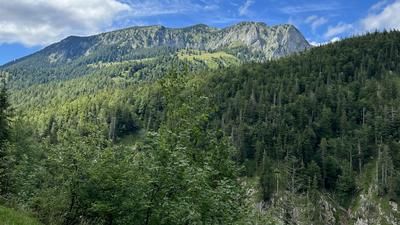
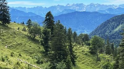
The tour starts at the hikers' parking lot in Krün near Wallgau and rides up the first 600 meters of altitude on a good gravel road to the Fischbachalm. After a short descent, the road ends at a material cable car and turns into a trail that is still easy to ride at first, but on which the bike soon has to be pushed or carried. Once you have reached the Soiernkessel, leave the turn-off to the Soiernhaus on the right and keep left on a short, wider path until the signposted path branches off to Jägersruh. On the further 350 meters uphill, a great panorama of the Soiernkessel with its two lakes makes up for the strenuous hike.
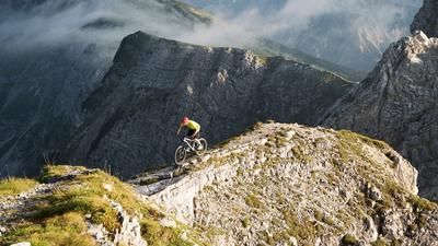
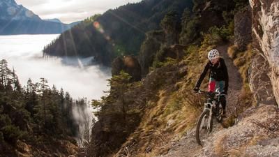
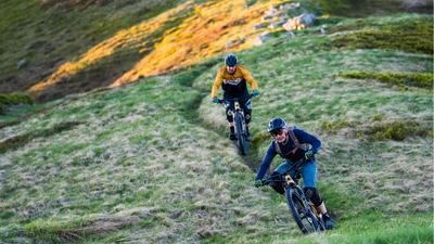
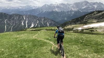
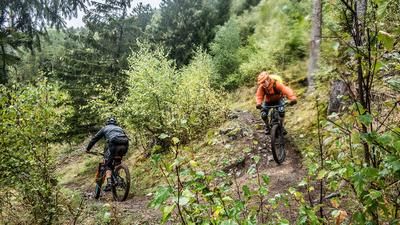
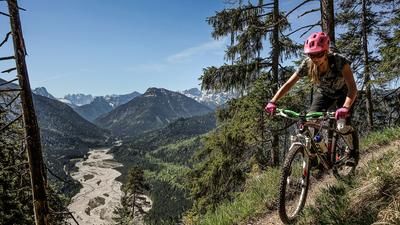
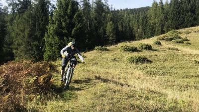
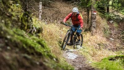
At the top of the saddle, a narrow path meanders down over beautiful meadow slopes to the bottom, before you cross the slopes below the Soiernspitze, always keeping to the right - with slight ascents in the opposite direction. Shortly before the Jöchel, you have to push a few more meters before descending through the forest and mountain pines to the Vereinalm. Follow the forest road westwards for a short distance before turning left towards Jägersteig. After a good kilometer, the road joins the Jägersteig, which initially has a few short sections on S3, but then flows along the slope in the S1 to S2 range and ends at the Aschauer Alm. Here you follow the wide hiking trail to the right until you reach the forest road from the Vereinalm and cycle along the Isar back to Krün.Map & GPX-Track
The map is only available to Ride subscribers.
The Ride-Subscription is available at ride-mtb.com/abo
.
Details of the tour
28 km
1345 m
1345 m
861 above sea level
1896 above sea level
1 day
Krün
Krün
2418
not suitable
More information
More tours nearby














User comments (0)
Note: This content has been automatically translated from German. Please report any incorrect translations.