

Krasji vrh
Description
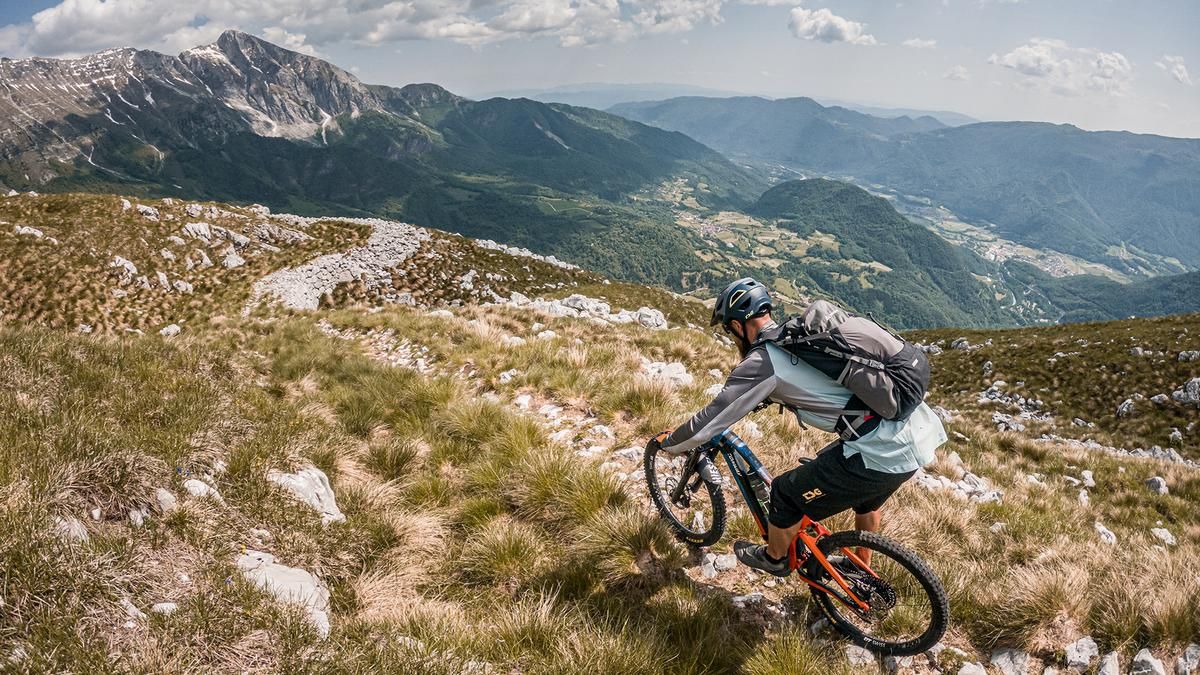
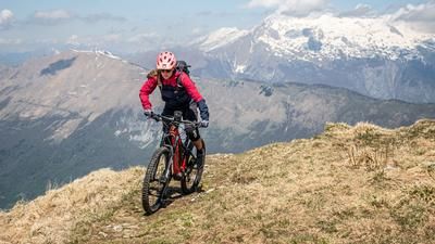
The starting point of the tour is the Napoleon Bridge near Kobarid. At the beginning, the route is relaxed on asphalt through beech forests to Drežnica and continues in this key. From the parking lot, the uphill changes to gravel, where there is also a watering hole that should be used. You then pedal on gravel along the military road from the First World War towards Planina Zapleč, where there is another watering hole, which is useful on hot summer days. This is how you finally arrive at the Planina Zaprikraj pasture. From here, you follow a military path from the First World War up through the woods to the summit of Debeljak, which you cross to the south. At an altitude of around 1600 meters above sea level, you reach countless emplacements in the area of the saddle, also dating from around 1915 to 1918. The buildings erected here are breathtaking! From this point, the path becomes very difficult to walk and the bike has to be shouldered before you reach the highest point of the tour (Krasji vrh, 1768 meters above sea level). The summit has an incredible 360° panoramic view and shows all the striking mountain formations of the Soča Valley.
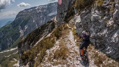
The downhill is also in a class of its own. Relatively difficult to find at first, it then zigzags steadily downhill from the signpost on difficulty S3, occasionally S4. At an altitude of around 1600 meters above sea level, there is a former artillery gun position to visit if you turn west. Otherwise, the trail continues in the same manner, becoming increasingly flowing and finally leveling off at difficulty S1 to S2 on the ascent variant. The entire beech forest, which was a military road on the ascent, is tackled with difficulty S2 to S3 in the direction of Gornje Ravne as far as Magozd. Flow sections also await you in places. At Magozd, the route then takes you through the hinterland in a somewhat hilly fashion before crossing the summit of Molid and following a narrow S2 trail to the Slap Kozjak waterfall. You then use the transfer road with a small counter-climb to Kamp where the loop ends.
If the uphill from Planina Zaprikraj to the summit is too long or the carrying passage too intense, you can also stop at the military positions and ride this variant.
Map & GPX-Track
The map is only available to Ride subscribers.
The Ride-Subscription is available at ride-mtb.com/abo
.
Details of the tour
29 km
1500 m
1500 m
241 above sea level
1731 above sea level
1 day
Kobarid
Kobarid
2925
not suitable
More information
More tours nearby



User comments (1)

About the author: Martin Depauli
Note: This content has been automatically translated from German. Please report any incorrect translations.
Tour made on 02.05.25.
- Long ascent. From the Planina Zaprikraj mountain pasture, everything has to be pushed and carried. Magnificent views open up on the way to the summit. The summit is a must. Amazing panorama!
- Trail well described. From 1600m it's really fun. Everything from flow, rock gardens, technical passages.
Tip: Leave your bike at approx. 1650m at the World War II buildings and continue to the summit without it.
Then ride the ascent variant as a trail. Here you can really shoot. It definitely looked more fun than the upper part of the other trail