

Monte Nagnoj
Description
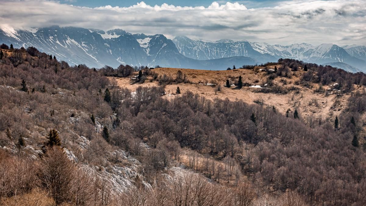
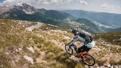
The starting point of the tour is the hamlet of Volče near Tolmin. Beautifully situated in the Soča valley near the Soča river, the route climbs steadily from here along an old military road (Slovenian border ridge road). You pedal up to the summit on asphalt and enjoy fabulous views of the Triglav and Krn. The summit itself, Monte Nagnoj/Colovrat, is the highest peak in the Colovrat chain and is located directly on the border ridge, i.e. on the Italian/Slovenian border. The view here is fabulous and the views are endless, especially in spring and autumn when the air is dry and temperatures are low.
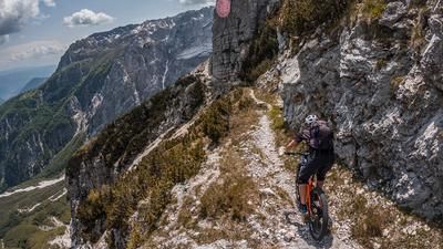
The descent initially rides along the Sentiero della Pace along the ridge. It is relatively easy, generally at S1 level, and passes countless military buildings and positions from the First World War. In some places, an open-air museum has been set up and invites you to explore. The route remains in this style and you surf the entire area to the starting point. The maximum difficulty is S2, but only on short passages. In Volče itself, there is the Stara Sola pizzeria, which offers good food for refreshments.
Map & GPX-Track
The map is only available to Ride subscribers.
The Ride-Subscription is available at ride-mtb.com/abo
.
Details of the tour
22 km
990 m
990 m
201 above sea level
1163 above sea level
1 day
Tolmin
Tolmin
2860
well suited
More information
More tours nearby



User comments (2)

About the author: Martin Depauli
Note: This content has been automatically translated from German. Please report any incorrect translations.
Our BnB is located about 60 minutes by bike from the starting point of this tour and directly on the trail area of Gemona in Friuli.
https://www https://www.bnb-bondigemona.ch
Status 21.05.2023
The part of the trail that runs along the old Alpe Adria Trail no longer exists. But there is a very nice new variant. After the point with the gate, continue riding the trail according to the map in the direction of Sv. The end point is at the bend in the access road. After that you can follow the GPS track halfway - the locals have done a great job here and built variants with small berms and jumps. Very fun!