

Matajur – Nord
Description
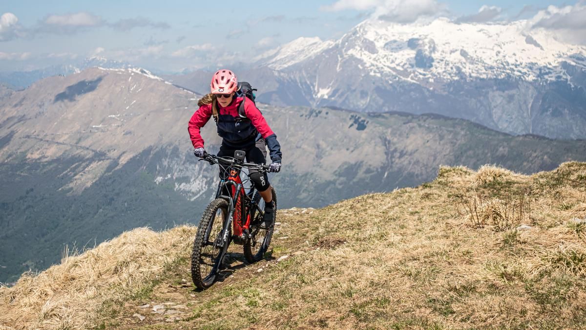
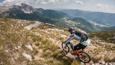
The starting point of the tour is Idrsko near Kobarid in the Scoa Valley. At the start, the route climbs steadily uphill on an asphalt road to Livek. There are views of the Julian Alps and the uphill is relaxed. The uphill becomes wilder and rougher and eventually changes to gravel, turning into a fantastic panoramic trail at the top of the mountain slope. Finally, you cross the entire southern flank of the summit to below Matajur on a military road from the First World War. Erwin Rommel had a military presence here and it was under him that the infrastructure units were built. At Dom na Matajure, the only way to reach the summit of Matajur is by pushing. 1645 meters above sea level is the highest point of the tour and you have a magnificent view of the Julian Alps and, on a clear day, the Mediterranean Sea.
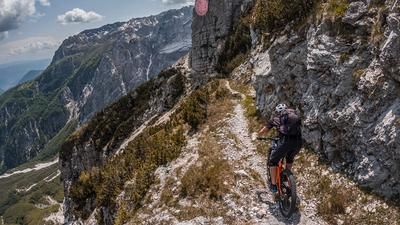
In the upper section, the descent leads gently down through forest and meadow paths at S1 level. You briefly return to the panoramic road and cross towards Idrska planina, where the difficulty level changes. A first-class trail at S2 difficulty runs along the northern ridge, which then changes to the left above Livek and crosses the entire ridge again. In the area of the Breznik summit, the trail turns into a karn path, which is relatively easy to ride in dry conditions, but has its pitfalls in wet conditions. Finally, you return directly to the starting point of the tour.
Map & GPX-Track
The map is only available to Ride subscribers.
The Ride-Subscription is available at ride-mtb.com/abo
.
Details of the tour
33 km
1450 m
1450 m
213 above sea level
1603 above sea level
1 day
Idrsko
Idrsko
2856
limited
More information
No options along the route
More tours nearby



User comments (2)

About the author: Martin Depauli
Note: This content has been automatically translated from German. Please report any incorrect translations.
Took this hike on August 23, 2026. Conditions are still as described. There is no longer a trail from the Beznik summit into the forest. The trail from Livek is no longer worth taking. There are too many trees, and in some places the trail has disappeared due to logging operations.
Tour made on 03.05.25.
Tour well described. Whereby the asphalt road to Livek always has a nice incline for organic bikers ;)
Addition to the trail from 1300m.
- Trail up to the forest no longer really exists, as the grassy slope has been completely trampled by farm animals.
- Trail to Livek would have real potential. But it looks like it is no longer really maintained.
- Trail from Livek to the summit Breznik wonderful flowing forest trail. Unfortunately many trees in the way.
- The Karnweg is now really wild. Washed out like a V-shaped half-pipe (2-3m high) and in the middle a washed-out channel with stones, leaves and branches. Clay soil again and again. You have to like it. But somehow I still really enjoyed it. Never seen a trail like this before.
Still a great tour, but at the moment the trail from 1300m is no longer in the very best condition. But that's the way it is with alpine trails.