

Planina Sleme
Description
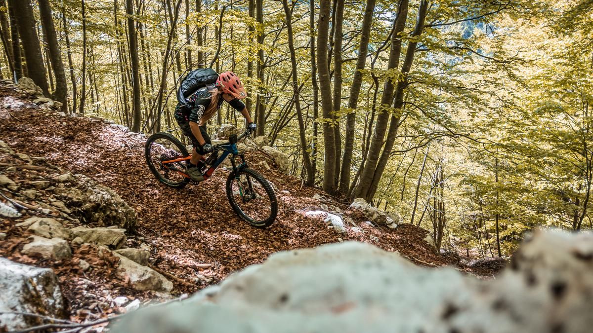
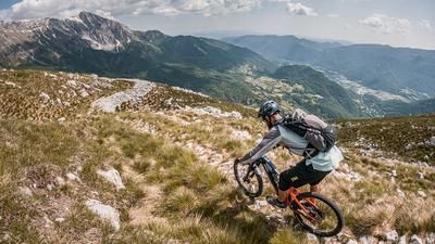
The starting point of the tour is the well-known village of Tolmin in the Soča Valley. Beautifully nestled below the Kozlov rob, on which the ruins tower above the valley floor, the ascent gets straight down to business without a roll-in phase. Through beech forests, you have to grit your teeth and climb the meters in altitude. You keep fighting your way up, past the Planina Pretovč directly to the highest point of the tour, the Planina Sleme mountain pasture. This is beautifully nestled in the middle of the Julian Alps and offers a magnificent view. This is particularly beautiful in autumn when the forest is covered in leaves.
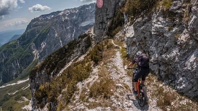
The first trail section begins here. On a typical trail in this area, the route leads to Planina Medrja at S2 level. After this, there is a short transfer to the ascent section and then a relatively easy single trail, which was originally a military trail from the First World War, begins downhill. You traverse the slope without any problems and collect an extremely high number of trail meters and few Elevation losses. At Skalca there is a small viewpoint into the Soča Valley and the trail continues in a similar manner. On S1, occasionally S2, you surf down to the Soča. The return route then follows a mix of side roads, past a nice campsite, back to the starting point of the tour.
Note: Mountain biking off official routes is prohibited in the Triglav National Park. This route contains such sections. Riding this route on a mountain bike is the responsibility of each individual, with awareness of the legal situation.
Map & GPX-Track
The map is only available to Ride subscribers.
The Ride-Subscription is available at ride-mtb.com/abo
.
Details of the tour
29 km
1255 m
1255 m
163 above sea level
1398 above sea level
1 day
Tolmin
Tolmin
2857
well suited
More information
More tours nearby



User comments (2)

About the author: Martin Depauli
Note: This content has been automatically translated from German. Please report any incorrect translations.
We rode the first trail between Sleme and Medrja in October 2023. When the grass is low in fall or spring, you can find the entrance on the alpine meadow in front of Planina Sleme with a close look or GPS track. Then it's a bit of a "freestyle" descent via tracks on the meadow. Once you have found the entrance to the forest, the trail is very clear. At the end of the forest there is a wire fence across the trail that you can barely see!
Status 22.05.2023
The first trail no longer exists, there is not even the beginning of a path in the alpine pasture area.
The last trail from the viewpoint cannot be found, probably overgrown. Unfortunately, this makes the tour no longer very worthwhile, as a large part of it leads down into the valley on forest roads and asphalt in sections. What a pity! Especially after the very demanding ascent.