

Prehodci-Sattel
Description
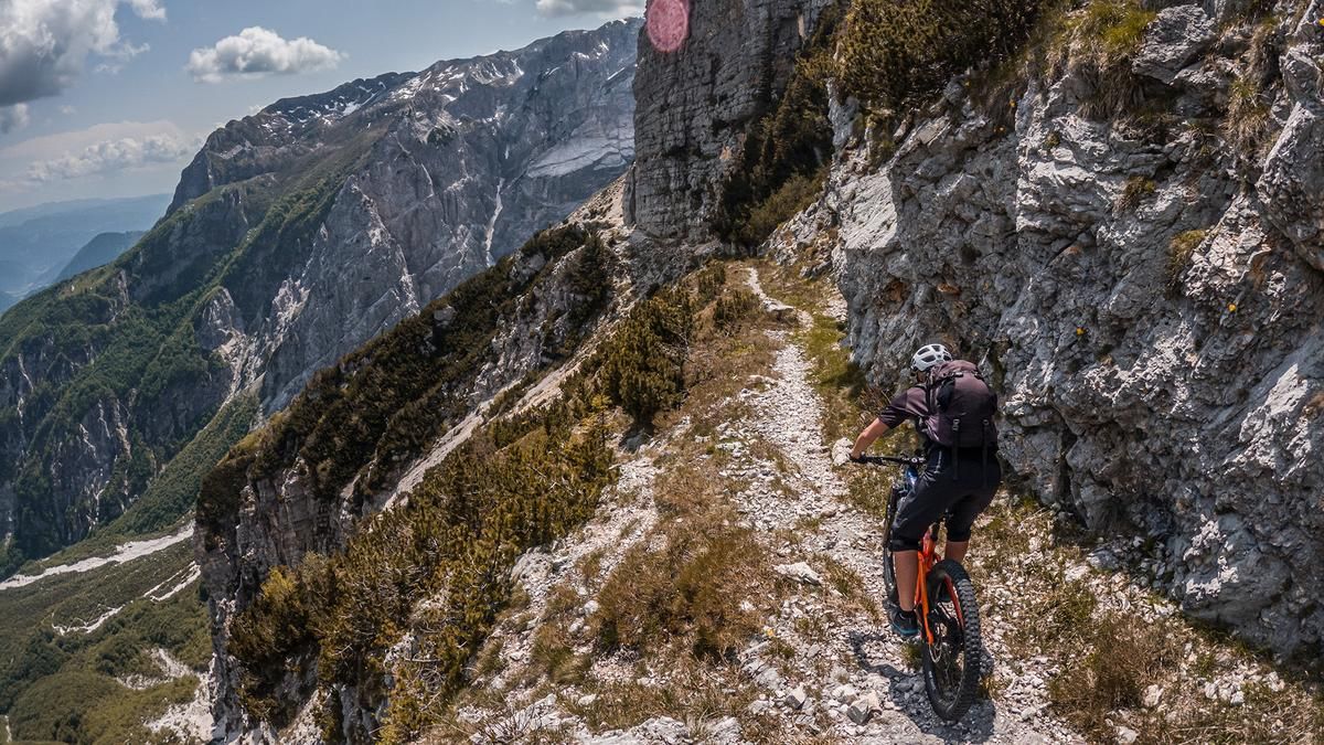
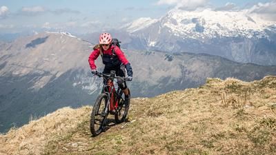
The route starts in Tolmin. From here, the route follows an old military road along the Tolminka through beech forests to Planina Polog. At Planina Polog you reach a clearing where you can already enjoy an impressive mountain panorama. The area along the Tolminka was heavily fortified during the First and Second World Wars, which is also the reason for the ascent variant. In the direction of Železje up to the dam (sweeping structure), the ascent is relatively steep and on coarse gravel. The scree cone itself up to the serpentine path or alpine path is then only possible in part by pushing, but sections can still be ridden. The route then climbs steadily in this manner up to the Prehodci saddle. In the last few meters of altitude, there are two significant alpine sections to tackle, which are very exposed and pose a risk of falling. Once you reach the saddle itself, you have a breathtaking panorama in front of you that you don't get to see every day.
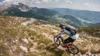
The descent is just as much of a treat. The entire ascent route now serves as a downhill. From difficulty S1 to S3, you are served the whole range. In this style, you descend to the dam, where you then turn left onto the old Mulitiera trail. On mostly S2, this section is a real treat. You then come to the Tolminka, where you cross the water in a spectacular way using a hand-cranked cable car. A few meters in altitude, a pushing station is planned here before you take the transfer route past the alpine pasture to Tolmin, before finally rolling back to the starting point on the last trail section on difficulty S1.
Note: Mountain biking off official routes is prohibited in the Triglav National Park. This route contains such sections. Riding this route on a mountain bike is the responsibility of each individual, with awareness of the legal situation.
Map & GPX-Track
The map is only available to Ride subscribers.
The Ride-Subscription is available at ride-mtb.com/abo
.
Details of the tour
37 km
1600 m
1600 m
182 above sea level
1604 above sea level
1 day
Tolmin
Tolmin
2922
not suitable
More information
More tours nearby



User comments (1)

About the author: Martin Depauli
Note: This content has been automatically translated from German. Please report any incorrect translations.
Sorry, but what's with the flimsy reference? Biking is strictly forbidden in the entire Triglav National Park and there are severe fines if you are caught. Whether you want to risk it is of course up to you.
But respect for the rules and laws of the respective countries should at least dictate that such tours are not published on a publicly accessible tour portal!