

Barranco de Guayadeque

Description
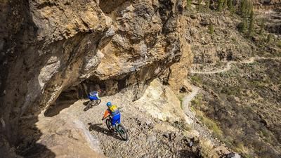
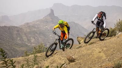
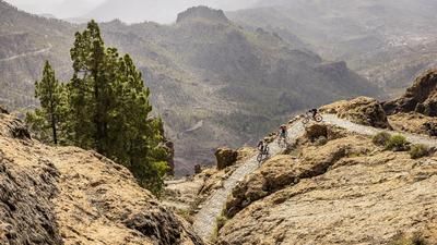
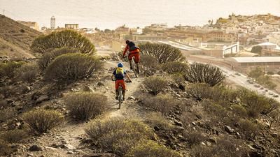
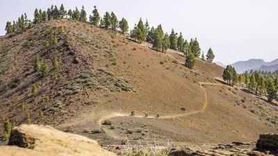
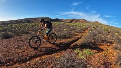
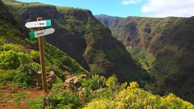
The starting point of the tour is the center of the Guayadeque gorge at the Eremtien chapel. This is also where the singletrail descent from the northern side ends later on. First, however, there is an 800-metre ascent. This rides impressively along the valley floor on asphalt to the village of Montana de las Tierras. Half of the ascent is now complete. The route now turns into a gravel road and continues unabated along the valley floor until there is asphalt under your wheels again. This brings you to a kind of plateau and directly above the gorge. The ascent is now complete and the focus is now on the singletrail descent. The crisp trail leads past the Pico del Mojon and always stays on the precipice down into the gorge, which allows for full views of the Barranco de Guayadeque time and again. A section of gravel and even asphalt road follows until you turn onto the final section. The racy and challenging trail leads directly down to the starting point. If you want to make the final section a little more moderate, start the tour in Ingenio and instead of following the trail down to the chapel, follow the road for a short stretch before jetting along a more moderate single trail along the lowest part of the Guayadeque ridge to the outskirts of Ingenio.
Map & GPX-Track
The map is only available to Ride subscribers.
The Ride-Subscription is available at ride-mtb.com/abo
.
Details of the tour
16 km
860 m
860 m
550 above sea level
1421 above sea level
1 day
Agüimes
Agüimes
2677
well suited
More information
More tours nearby




User comments (2)

About the author: Thomas Giger
Note: This content has been automatically translated from German. Please report any incorrect translations.
I had exactly the same experience as Patrik.
Trail very overgrown and hard to find.
The last section is a mountain hiking trail! Hands off, unless you want to hike and push your bike... 😳
I wouldn't ride this tour again
The final section after the tarred road and before the easier descent mentioned above is heavily overgrown and only just passable on foot.
Despite the GPS, this easier descent can no longer be found. The normal black descent back into the Barranco is definitely only less than 10% rideable and is no fun!